
Turó des Plaus de Boldís, mountain in Spain
Location: Lladorre
Elevation above the sea: 2,496.7 m
GPS coordinates: 42.63831,1.28893
Latest update: May 2, 2025 22:00

Pantà de Tavascan
3.1 km
Pla de Boavi
5.9 km
Santa Maria de Ginestarre
5.1 km
La Força d'Àreu
5.9 km
Sant Pau i Sant Pere d'Esterri de Cardós
5.5 km
Tuc del Caubo
4.4 km
Serradora d'Àreu
5.9 km
Sant Feliu de la Força d'Àreu
5.9 km
Pla de la Selva
4.9 km
Avet del Pla de la Selva
5.2 km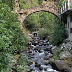
Pont Vell de Tavascan
2.7 km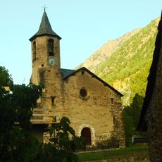
Sant Bartomeu de Tavascan
2.7 km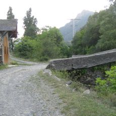
Mare de Déu del Pont
5 km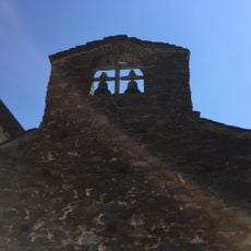
Sant Romà d'Aineto
3.3 km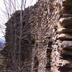
Castell de Lladorre
4 km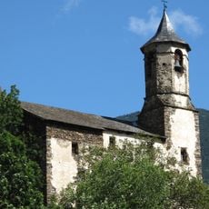
Sant Martí de Lladorre
3.8 km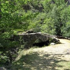
Pont de Borito
3.6 km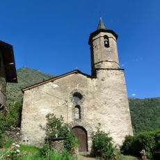
Sant Pere de Lladrós
5.3 km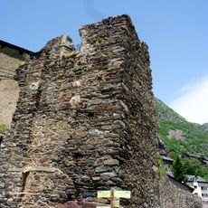
Sant Simó de Tavascan
2.7 km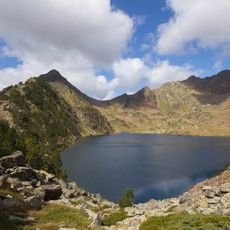
Tres Pics
5.1 km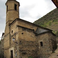
Church of Saint Fructuosus of Boldis Sobirà
3.1 km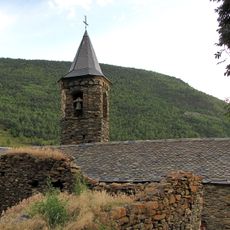
Sant Cristòfol de Boldís Jussà
3.3 km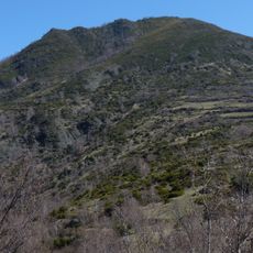
Roc Bataller
4.4 km
Pic de Becero
4.6 km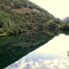
Presa de Tavascan
3.1 km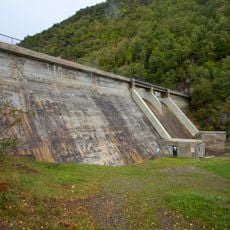
Presa de Graus
5.9 km
La Molina
2.5 km
Bordes de Costuix
5.5 kmReviews
Visited this place? Tap the stars to rate it and share your experience / photos with the community! Try now! You can cancel it anytime.
Discover hidden gems everywhere you go!
From secret cafés to breathtaking viewpoints, skip the crowded tourist spots and find places that match your style. Our app makes it easy with voice search, smart filtering, route optimization, and insider tips from travelers worldwide. Download now for the complete mobile experience.

A unique approach to discovering new places❞
— Le Figaro
All the places worth exploring❞
— France Info
A tailor-made excursion in just a few clicks❞
— 20 Minutes