
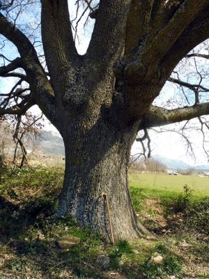
Roure del Corp de Montardit, arbre monumental d'Àger
Location: Àger
Elevation above the sea: 628 m
Height: 20.5 m
Width: 22 m
GPS coordinates: 42.00298,0.74957
Latest update: March 13, 2025 06:51
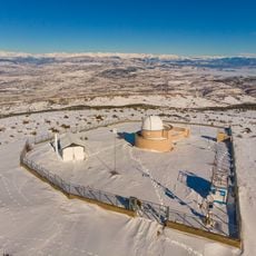
Montsec Astronomical Observatory
5.7 km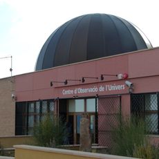
Parc Astronòmic Montsec
2.7 km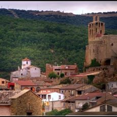
Castell d'Àger
1.1 km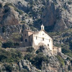
Mare de Déu de Pedra
2.9 km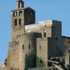
Castell i col·legiata de Sant Pere d'Àger
1.1 km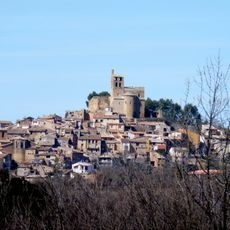
Nucli històric d'Àger
1.1 km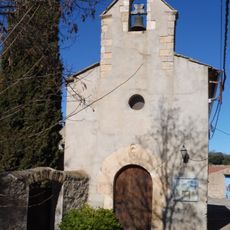
Sant Josep de Fontdepou
4.6 km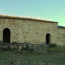
Sant Jaume de Cas
5.2 km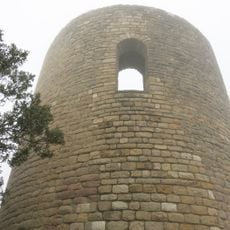
Les Torres de Cas
5.1 km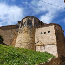
Sant Vicenç d'Àger
1.3 km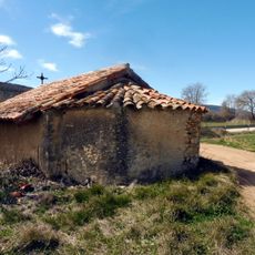
Ermita de Santa Elena
722 m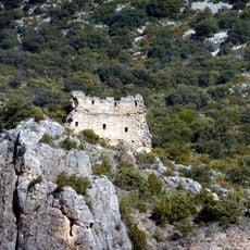
Castell de Montaspre
5.3 km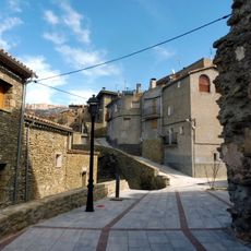
Castell de la Règola
3.7 km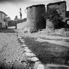
Muralla d'Àger
1.3 km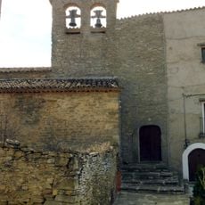
Església parroquial de Sant Julià de la Régola
3.7 km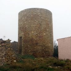
Torre de Fontdepou
4.7 km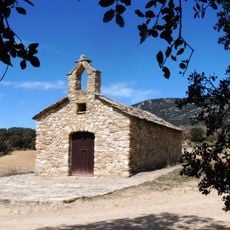
Sant Pere Màrtir
2.9 km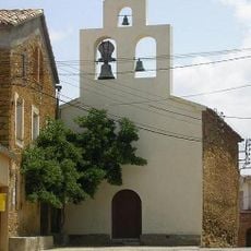
Església parroquial de Sant Mateu d'Agulló
2.4 km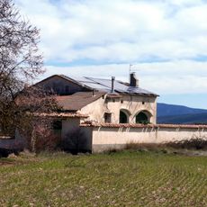
Torre Sanui
834 m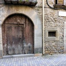
Casa de D. Gaspar de Portolà
1.2 km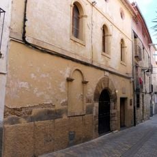
Casa Parroquial
1.2 km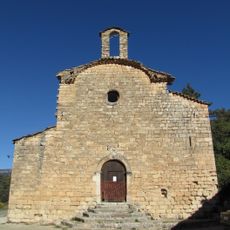
Sant Pere de Millà
4.1 km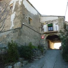
Porxos de Fontdepou
4.7 km
Casa Chaparró
1.2 km
La Trinitat de la Régola
4.4 km
Serrat de Pui
1.9 km
Via romana d'Àger
2.6 km
Casa Colundo
1.2 kmVisited this place? Tap the stars to rate it and share your experience / photos with the community! Try now! You can cancel it anytime.
Discover hidden gems everywhere you go!
From secret cafés to breathtaking viewpoints, skip the crowded tourist spots and find places that match your style. Our app makes it easy with voice search, smart filtering, route optimization, and insider tips from travelers worldwide. Download now for the complete mobile experience.

A unique approach to discovering new places❞
— Le Figaro
All the places worth exploring❞
— France Info
A tailor-made excursion in just a few clicks❞
— 20 Minutes