
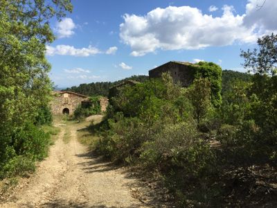
Can Genoer, building in Cruïlles, Monells i Sant Sadurní de l'Heura (Baix Empordà, Catalonia)
Location: Cruïlles, Monells i Sant Sadurní de l'Heura
Elevation above the sea: 272 m
GPS coordinates: 41.89944,2.98729
Latest update: March 26, 2025 08:31
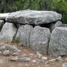
Cova d'en Daina
4.7 km
Puig d'Arques
1.4 km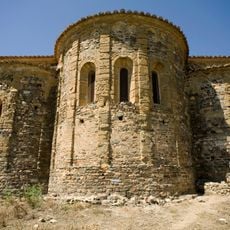
Sant Miquel de Cruïlles
6.2 km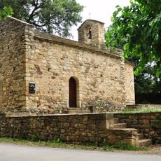
Església de Sant Joan de Salelles
5.5 km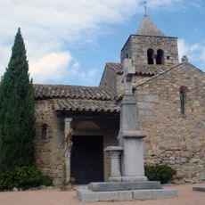
Església de Sant Martí de Romanyà
5.1 km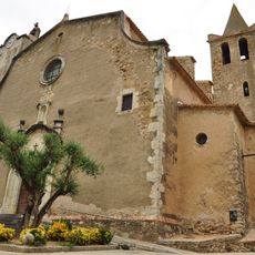
Church of Saint Saturnin
6.4 km
Santa Llúcia
4.9 km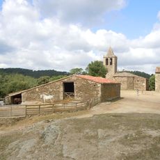
Església de Sant Cebrià de Lledó
2.2 km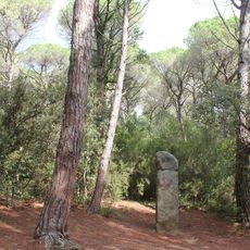
Menhir de la Murtra
4.7 km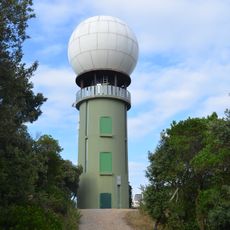
Radar de Puig d'Arques
1.4 km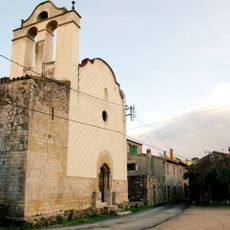
Església de Sant Pol de la Bisbal
5.2 km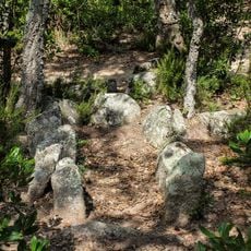
Cista de la Carretera de Calonge
4.9 km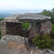
Dolmen de Puig d'Arques
1.4 km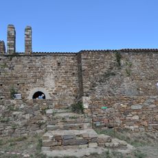
Església de Sant Cebrià dels Alls
2.7 km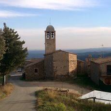
Església de Santa Pel·laia
6.3 km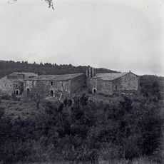
Castell de Sant Cebrià dels Alls
2.6 km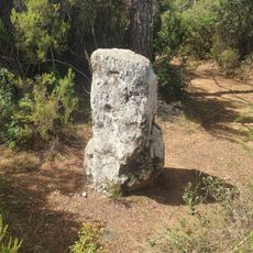
Menhir de Sant Sadurní
5.9 km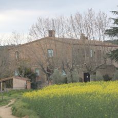
Can Morató
5.6 km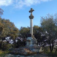
Creu de Romanyà
4.9 km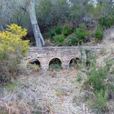
Molí d'en Vilallonga i aqüeducte
6.4 km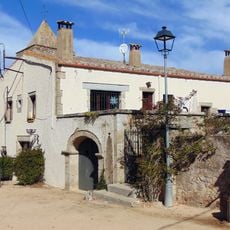
Rectoria de Sant Martí de Romanyà
5.1 km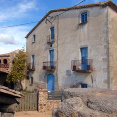
Mas Guitó
5.1 km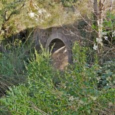
Pont Rodó
5.6 km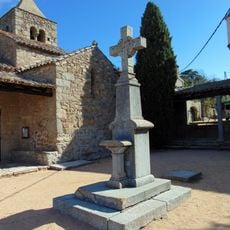
Monument funerari de Joaquim Almeda i Roig
5.1 km
Can Botero
6.1 km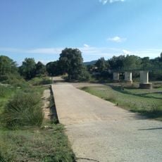
Palanca de Cruïlles
5.2 km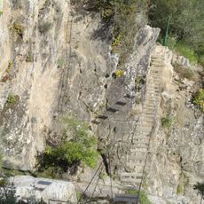
Pont del Salt del Llop
6.1 km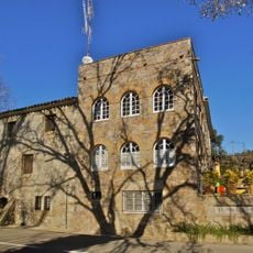
Molí del Mesamunt
6.1 kmReviews
Visited this place? Tap the stars to rate it and share your experience / photos with the community! Try now! You can cancel it anytime.
Discover hidden gems everywhere you go!
From secret cafés to breathtaking viewpoints, skip the crowded tourist spots and find places that match your style. Our app makes it easy with voice search, smart filtering, route optimization, and insider tips from travelers worldwide. Download now for the complete mobile experience.

A unique approach to discovering new places❞
— Le Figaro
All the places worth exploring❞
— France Info
A tailor-made excursion in just a few clicks❞
— 20 Minutes