
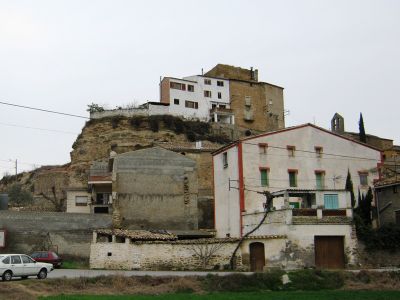
Vernet, human settlement in Artesa de Segre, Noguera, Ponent, Spain
Location: Artesa de Segre
Elevation above the sea: 334 m
GPS coordinates: 41.90491,1.04108
Latest update: March 17, 2025 07:18
Castell de Montsonís
2.5 km
Montsonís
2.5 km
Salgar
2.7 km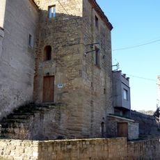
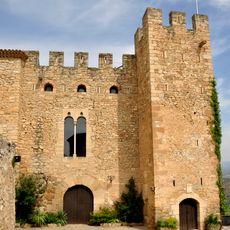
Castell de Vernet
48 m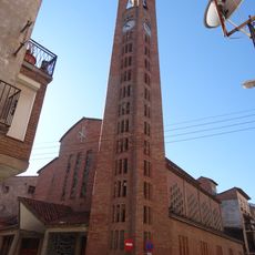
Mare de Déu de l'Assumpció
1.1 km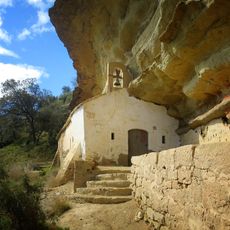
Sant Salvador
2.5 km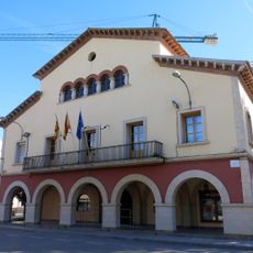
Ajuntament d'Artesa de Segre
1.1 km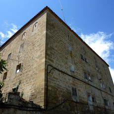
La Granja
1.1 km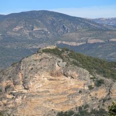
Castell de Malagastre
2.4 km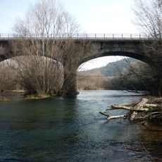
Pont d'Alentorn
2.4 km
Lo Castellot
1.8 km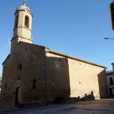
Sant Salvador d'Alentorn
2.8 km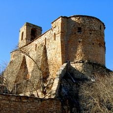
Sant Urbà de Montsonís
2.6 km
Museu del Montsec
1.2 km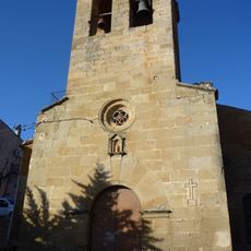
Santa Maria de Baldomar
2.7 km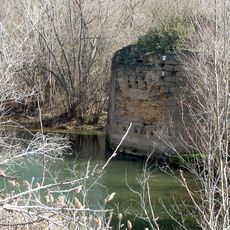
Pont medieval d'Alentorn
2 km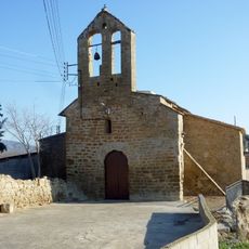
Santa Maria de Vernet
22 m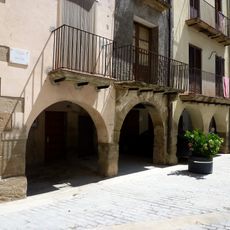
Plaça Major
1.1 km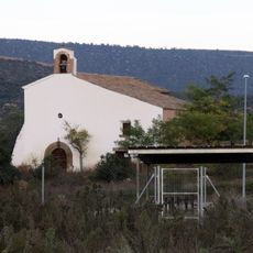
Santa Maria del Pla
2.8 km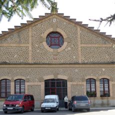
La Fàbrica
2.8 km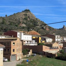
Lo Castellot
1.8 km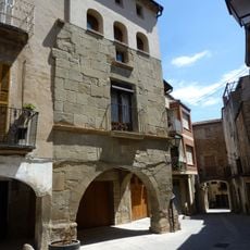
Cal Comabella (Artesa de Segre)
1.1 km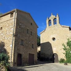
Santa Maria de Montsonís
2.5 km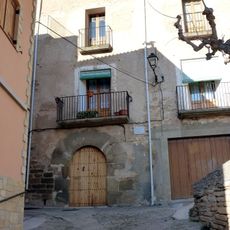
Casa Castells
2.6 km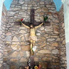
Fossar i Capella del Sant Crist
2.2 km
Col·legi de les Dominiques
1.2 km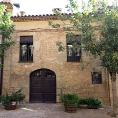
Cal Valeri
2.5 km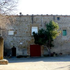
L'Abadia
45 mReviews
Visited this place? Tap the stars to rate it and share your experience / photos with the community! Try now! You can cancel it anytime.
Discover hidden gems everywhere you go!
From secret cafés to breathtaking viewpoints, skip the crowded tourist spots and find places that match your style. Our app makes it easy with voice search, smart filtering, route optimization, and insider tips from travelers worldwide. Download now for the complete mobile experience.

A unique approach to discovering new places❞
— Le Figaro
All the places worth exploring❞
— France Info
A tailor-made excursion in just a few clicks❞
— 20 Minutes