
Sindicato Agrícola Regional de Castrojeriz, building in Castrojeriz, Spain
Location: Castrojeriz
Part of: Way of Saint James in the province of Burgos
GPS coordinates: 42.28719,-4.13806
Latest update: April 12, 2025 23:39
Castle of Olmillos de Sasamón
14.8 km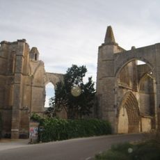
San Antón monastery
3.3 km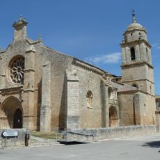
Iglesia de Nuestra Señora del Manzano
1.1 km
Hospital de Puente Fitero
8.7 km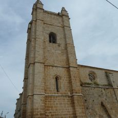
Church of San Juan
528 m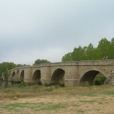
Puente de Itero
8.9 km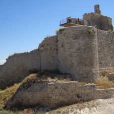
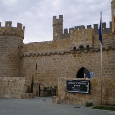
Castle of Castrojeriz
489 m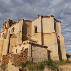
Church of La Inmaculada Concepción de Nuestra Señora
5.8 km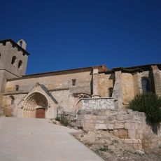
Retablo mayor de la iglesia de san millan de los balbases
9.8 km
Iglesia de San Vicente
6.3 km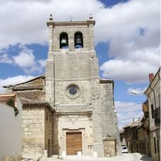
Church of Santo Domingo, Castrojeriz
274 m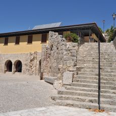
Iglesia de San Esteban
274 m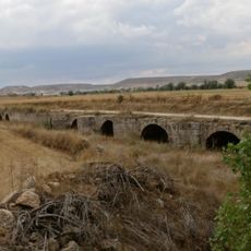
Puente de Bárcena
2.1 km
Iglesia de San Esteban Protomártir
3.7 km
Itero de la Vega Pillory
9.8 km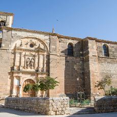
Church of Santos Juanes
13.8 km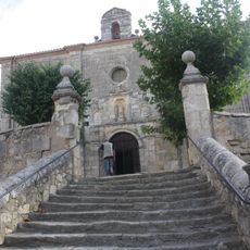
Iglesia de San Cristóbal
8.6 km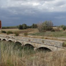
Puente de Tabanera
2.3 km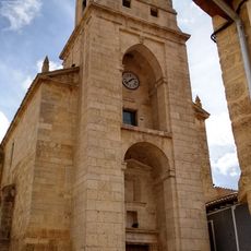
Iglesia de la Inmaculada Concepción
8.2 km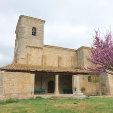
Iglesia de San Pedro Apóstol
9.7 km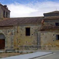
Church of Saint Peter
9.9 km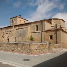
Church of the Assumption
10.1 km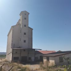
Silo de Castrojeriz
470 m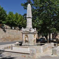
Fuente de la Puerta del Monte
215 m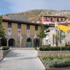
Villa de Castrojeriz
76 m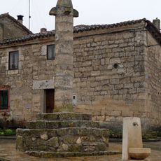
Rollo de Villaquirán de los Infantes
12.6 km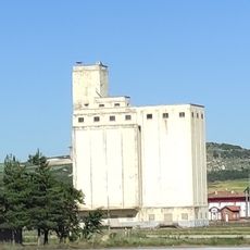
Silo of Villaquirán de los Infantes
13.8 km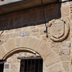
Casa del Cordón
338 mReviews
Visited this place? Tap the stars to rate it and share your experience / photos with the community! Try now! You can cancel it anytime.
Discover hidden gems everywhere you go!
From secret cafés to breathtaking viewpoints, skip the crowded tourist spots and find places that match your style. Our app makes it easy with voice search, smart filtering, route optimization, and insider tips from travelers worldwide. Download now for the complete mobile experience.

A unique approach to discovering new places❞
— Le Figaro
All the places worth exploring❞
— France Info
A tailor-made excursion in just a few clicks❞
— 20 Minutes