
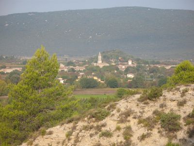
Pompignan, commune in Gard, France
Location: canton of Saint-Hippolyte-du-Fort
Location: Gard
Location: arrondissement of Le Vigan
Elevation above the sea: 245 m
Shares border with: Conqueyrac, Corconne, Saint-Hippolyte-du-Fort, Claret, Ferrières-les-Verreries, Sauve, Montoulieu
Phone: +33466772188
Email: mairie.de.pompignan@wanadoo.fr
GPS coordinates: 43.89389,3.85611
Latest update: June 8, 2025 04:07

Grotte des Demoiselles
9.1 km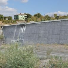
Barrage de Conqueyrac
8.6 km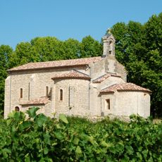
Chapelle Notre-Dame d'Aleyrac
9.3 km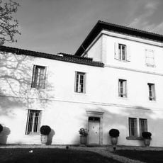
Château de la Devèze
10.3 km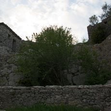
Château de Roquevaire
8.7 km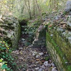
Oppidum de Mus
9.9 km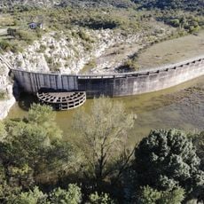
Ceyrac dam
4.9 km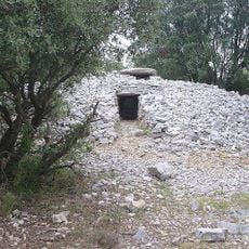
Lamalou dolmen
9 km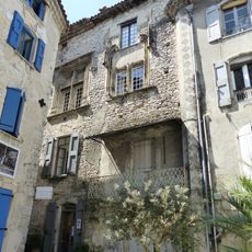
House known as the bishopric
9 km
Église Saint-Vincent de Cros
10.5 km
Saint-Hippolyte-du-Fort war memorial
7.9 km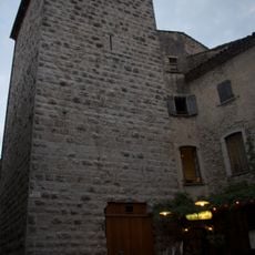
Tour de Môle
9.1 km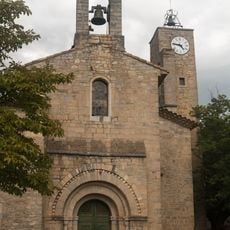
Église Saint-Félix-de-Gérone de Claret
5.3 km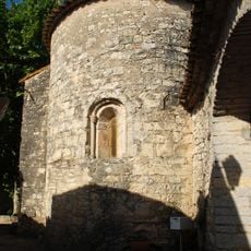
Église Saint-Martin de Sauteyrargues
8 km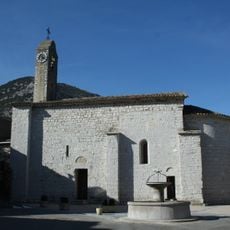
Église de Saint-Michel de La Cadière-et-Cambo
8 km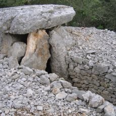
Rascassols dolmen
8.2 km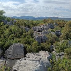
La Mer des Rochers
8.7 km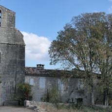
Conqueyrac St André church
7.7 km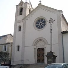
Église Saint-Baudile de Vacquières
9 km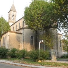
Église Saint-Saturnin de Pompignan
31 m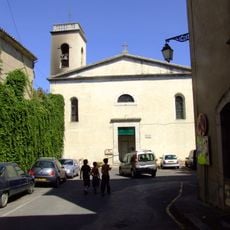
Église Saint Pierre, Sauve
9.3 km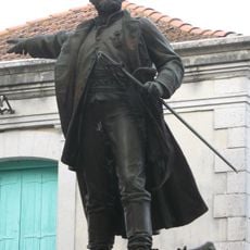
Monument au colonel Bourras
39 m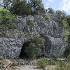
Grotte de Diou Lou Garde
8.1 km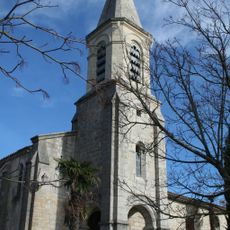
Église Saint-Étienne de Montoulieu
6.4 km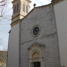
Église Saint-Hippolyte de Saint-Hippolyte-du-Fort
8 km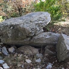
Dolmen du Col de l'Aubret
9.5 km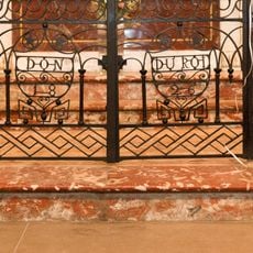
Liturgical fence of the St. Peter church in Sauve
9.1 km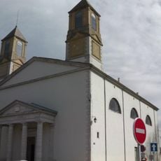
Temple de Saint-Hippolyte-du-Fort
7.7 kmVisited this place? Tap the stars to rate it and share your experience / photos with the community! Try now! You can cancel it anytime.
Discover hidden gems everywhere you go!
From secret cafés to breathtaking viewpoints, skip the crowded tourist spots and find places that match your style. Our app makes it easy with voice search, smart filtering, route optimization, and insider tips from travelers worldwide. Download now for the complete mobile experience.

A unique approach to discovering new places❞
— Le Figaro
All the places worth exploring❞
— France Info
A tailor-made excursion in just a few clicks❞
— 20 Minutes