
Chambois, former commune in Orne, France
Location: canton of Trun
Location: Orne
Location: arrondissement of Argentan
Elevation above the sea: 120 m
Shares border with: Saint-Lambert-sur-Dive, Fel, Aubry-en-Exmes, Coudehard, Omméel
GPS coordinates: 48.80500,0.10528
Latest update: May 28, 2025 17:03

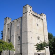
Donjon de Chambois
139 m
Coudehard-Montormel Memorial
4.5 km
Château du Bourg-Saint-Léonard
4.2 km
Château d'Aubry-en-Exmes
1.9 km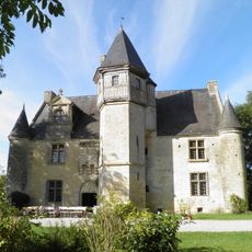
Manoir d'Argentelles
5.5 km
Château de Villebadin
4.7 km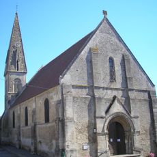
Église Saint-Martin de Chambois
41 m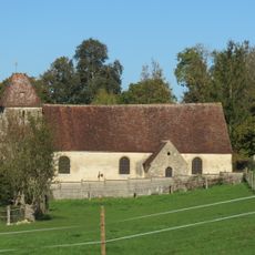
Église Saint-Gilles de Fougy
3.2 km
Église Saint-Saturnin des Ligneries
8 km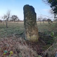
Pierre au Bordeu
4.7 km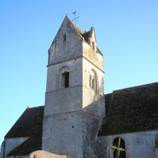
Église Saint-Lambert de Saint-Lambert-sur-Dive
2.5 km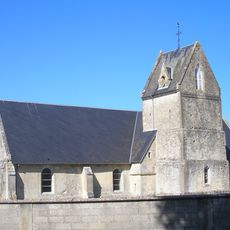
Église Saint-Médard de Fel
970 m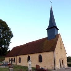
Église Saint-Pierre de Champosoult
8.7 km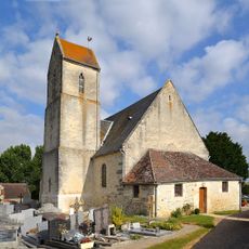
Église Saint-Paterne de Coulonces
7.9 km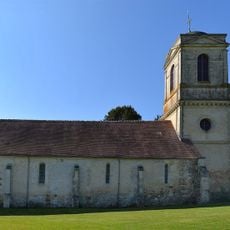
Église Saint-Martin de Survie
8.1 km
Église Saint-Agnan d'Écorches
7 km
Chapelle de l'hospice de Trun
7 km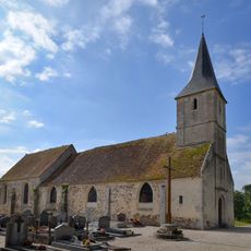
Église Saint-Jean-Baptiste de Villedieu-lès-Bailleul
6.2 km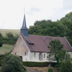
Église Saint-Pierre de Saint-Pierre-la-Rivière
7.1 km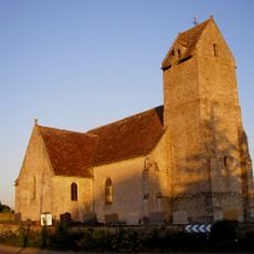
Église Saint-Martin de Neauphe-sur-Dive
5 km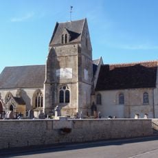
Église Saint-Paterne de Tournai-sur-Dive
4.6 km
Église Saint-Pierre-et-Saint-Paul de Trun
6.9 km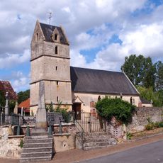
Église Notre-Dame d'Avenelles
2.9 km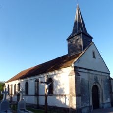
Église Notre-Dame de Mont-Ormel
4.9 km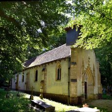
Chapelle de Tertu de la ferme de Laissard
6.8 km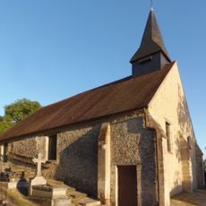
Église Saint-Pierre de Coudehard
4.7 km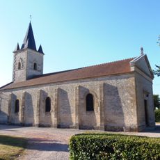
Église Saint-Jean d'Aubry-en-Exmes
3 km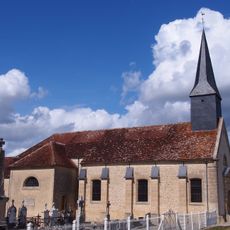
Église Saint-Jean de Villebadin
4.6 kmReviews
Visited this place? Tap the stars to rate it and share your experience / photos with the community! Try now! You can cancel it anytime.
Discover hidden gems everywhere you go!
From secret cafés to breathtaking viewpoints, skip the crowded tourist spots and find places that match your style. Our app makes it easy with voice search, smart filtering, route optimization, and insider tips from travelers worldwide. Download now for the complete mobile experience.

A unique approach to discovering new places❞
— Le Figaro
All the places worth exploring❞
— France Info
A tailor-made excursion in just a few clicks❞
— 20 Minutes