
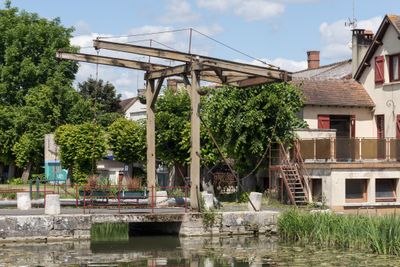
Pont-levis de Mennetou-sur-Cher, bridge in France
Location: Mennetou-sur-Cher
Address: rue du Cher
GPS coordinates: 47.26870,1.86570
Latest update: March 8, 2025 17:30
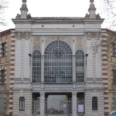
Usine Matra de Romorantin
13.3 km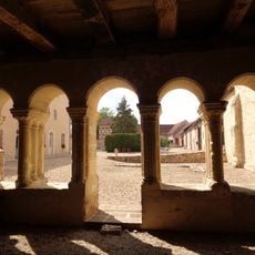
Prieuré de Fontblanche
6.8 km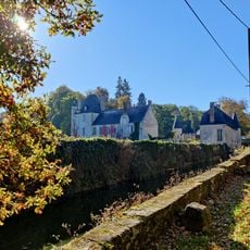
Rozay Castle
7.3 km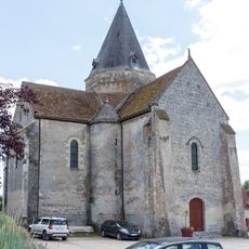
Église Sainte-Marie-Madeleine de Villefranche-sur-Cher
7.6 km
Église Saint-Urbain de Mennetou-sur-Cher
90 m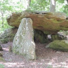
Pierre couverte de Bué
12.4 km
Église Saint-Martin d'Anjouin
10 km
Église Saint-Symphorien de Genouilly
8.7 km
Église Saint-Martin de Châtres-sur-Cher
3 km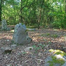
Menhirs of Tréfoux
13.2 km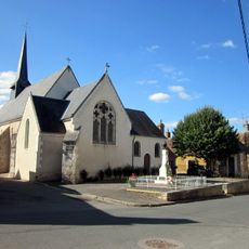
Église de Dun-le-Poëlier
11.2 km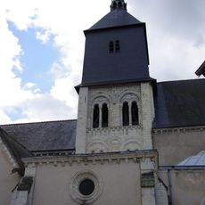
Église Notre-Dame et Saint-Étienne de Romorantin-Lanthenay
13.4 km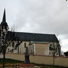
Église Saint-Euverte de Villeherviers
11.9 km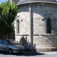
Église Saint-Loup de Saint-Loup
2 km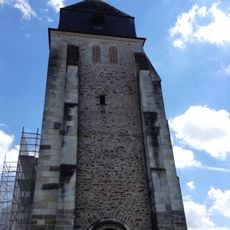
Église Saint-Sulpice de Langon
3.4 km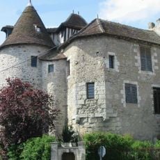
Prieuré de Mennetou-sur-Cher
131 m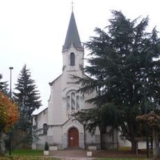
Église Saint-Austrégésille de Bagneux
12.9 km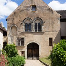
Grange dîmière de Mennetou-sur-Cher
124 m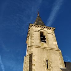
Église Saint-Martin de Méry-sur-Cher
9.6 km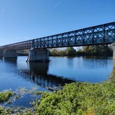
Pont de Châtres-sur-Cher
3.1 km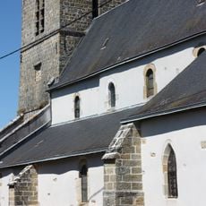
Église Saint-Aignan de Maray
2.8 km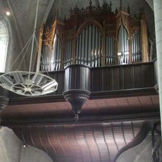
Orgue de tribune de l'église Saint-Étienne de Romorantin-Lanthenay
13.4 km
Hôtel Lionel-Normant
13.4 km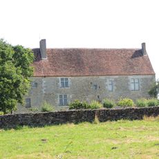
Prieuré Saint-Vincent de Dun-le-Poëlier
11.2 km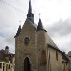
Chapelle Saint-Roch de Romorantin-Lanthenay
13.2 km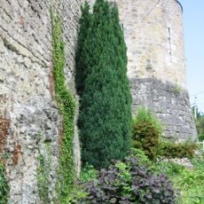
Remparts de Mennetou-sur-Cher
48 m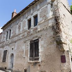
Maison François Ier
121 m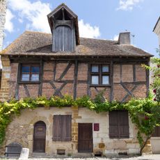
Timber framing house in Mennetou-sur-Cher
146 mReviews
Visited this place? Tap the stars to rate it and share your experience / photos with the community! Try now! You can cancel it anytime.
Discover hidden gems everywhere you go!
From secret cafés to breathtaking viewpoints, skip the crowded tourist spots and find places that match your style. Our app makes it easy with voice search, smart filtering, route optimization, and insider tips from travelers worldwide. Download now for the complete mobile experience.

A unique approach to discovering new places❞
— Le Figaro
All the places worth exploring❞
— France Info
A tailor-made excursion in just a few clicks❞
— 20 Minutes