Egra, City in West Bengal, India
Location: Egra subdivision
Elevation above the sea: 11 m
GPS coordinates: 21.90000,87.53000
Latest update: March 8, 2025 15:10
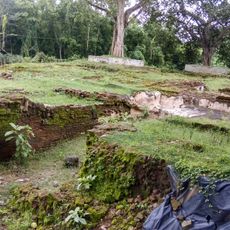
Moghalmari
26.2 km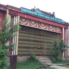
Mogalmari Museum
26.2 km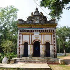
Ramchandra temple
8.6 km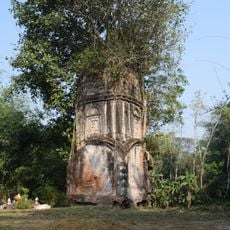
Rudreshwar temple
25.5 km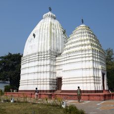
Jagannath temple
26.6 km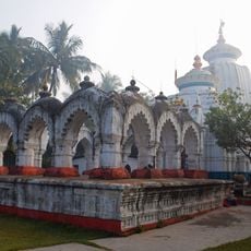
Hatnagar Shiva Deul
897 m
Ramchandrajiu temple
12.1 km
Siddheshwar Shiva temple
8.7 km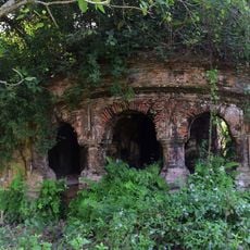
Radhaballava temple
13.3 km
Panchet Rajbari
6.9 km
Ananta Purushottam temple
24.2 km
Gouranga temple
10.9 km
Shitala temple
13.7 km
Radhagobindajiu temple
9.5 km
Kedar Pabkeswhar Shiva Temple
17.4 km
Brindavanjiu temple
13.5 km
Madanmohan temple
10.9 km
Radhabinod temple
10.9 km
Radha Gobinda temple
25.7 km
Pancheshwar Shiva temple
6.9 km
Shyamsundar temple
21.4 km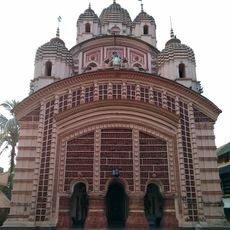
Raghunath temple
8.6 km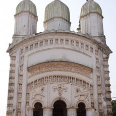
Shitala temple
6.9 km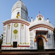
Radha Gokulananda temple
8.4 km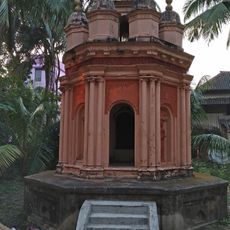
Rasmancha of Raghunath temple
8.7 km
Rasmancha of Radha Gokulananda temple
8.4 km
Ranagaswer Shiva temple
24.3 km
Rasmancha of Hatnagar Shiva temple
897 mVisited this place? Tap the stars to rate it and share your experience / photos with the community! Try now! You can cancel it anytime.
Discover hidden gems everywhere you go!
From secret cafés to breathtaking viewpoints, skip the crowded tourist spots and find places that match your style. Our app makes it easy with voice search, smart filtering, route optimization, and insider tips from travelers worldwide. Download now for the complete mobile experience.

A unique approach to discovering new places❞
— Le Figaro
All the places worth exploring❞
— France Info
A tailor-made excursion in just a few clicks❞
— 20 Minutes