Dehferi District, district in Iran
Location: Fereydunkenar County
GPS coordinates: 36.63333,52.51667
Latest update: March 4, 2025 01:31
Shams al-Rasul Mausoleum
22.2 km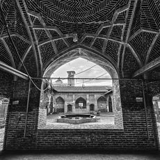
Jameh Mosque of Babol
17.7 km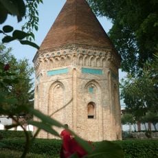
Haydar Amuli Mausoleum
22.5 km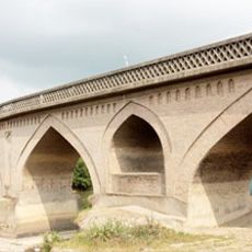
Mohammad Hassan Khan Bridge
17.9 km
Nasir al-Haqq Mausoleum
22.2 km
Imamzadeh Qasem (Hashtal)
17.2 km
Imamzadeh Muhammad Taher
21.4 km
Haj Ali Kuchak Mosque
22.9 km
Imam Hassan Askari Mosque (Amol)
22.6 km
Imamzadeh Ibrahim
15.1 km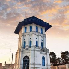
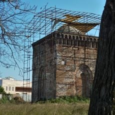
Babol Watchtower
17.9 km
Imamzadeh Qasem
17.3 km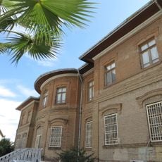
Amol History Museum
23 km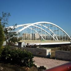
6 Bahman Bridge
22.4 km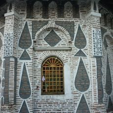
Imamzadeh Qasem
22.7 km
Babolsar Cable Bridge
13.8 km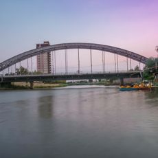
Babolsar First Metal Bridge
13.5 km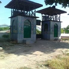
Hendu Kola Saqanefar
20 km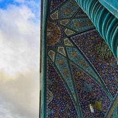
Imam Reza Mosque (Amol)
22.9 km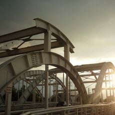
Amol Fourth Bridge
21.4 km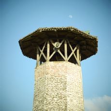
Minaret of Imam Hassan Askari Mosque
22.6 km
دانشکده ادبیات دانشگاه مازندران
18.1 km
مسجد محدثین بابل
17.8 km
Āb Bandān-e Mollā Kolā
22.3 km
Āb Bandān-e Marī Andūn
7.8 km
Āb Bandān-e Lalār
19.6 km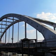
Babolsar Second Metal Bridge
14.4 km
Babolsar Third Bridge
13.5 kmReviews
Visited this place? Tap the stars to rate it and share your experience / photos with the community! Try now! You can cancel it anytime.
Discover hidden gems everywhere you go!
From secret cafés to breathtaking viewpoints, skip the crowded tourist spots and find places that match your style. Our app makes it easy with voice search, smart filtering, route optimization, and insider tips from travelers worldwide. Download now for the complete mobile experience.

A unique approach to discovering new places❞
— Le Figaro
All the places worth exploring❞
— France Info
A tailor-made excursion in just a few clicks❞
— 20 Minutes