
Mombercelli, Italian comune
Location: Province of Asti
Capital city: Mombercelli
Elevation above the sea: 233 m
Shares border with: Castelnuovo Calcea, Montaldo Scarampi, Rocca d'Arazzo, Vinchio, Belveglio, Montegrosso d'Asti, Rocchetta Tanaro
Website: http://comune.mombercelli.at.it
GPS coordinates: 44.81694,8.29500
Latest update: March 16, 2025 16:01
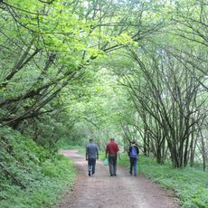
Parco naturale di Rocchetta Tanaro
4.9 km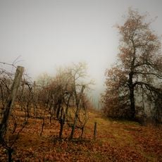
Riserva naturale speciale della Val Sarmassa
4 km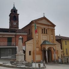
San Giacomo Maggiore
4.6 km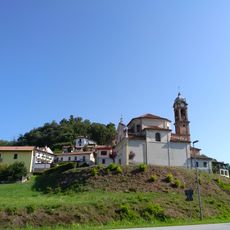
Natività di Maria
3.2 km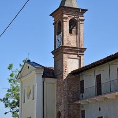
Santuario della Madonna delle Grazie
6.6 km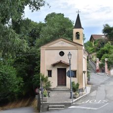
San Rocco
6.9 km
Sacro Monte (cappella IX)
7.1 km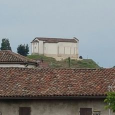
Church of St. Stephen and St. Liberata
6 km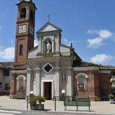
San Defendente
6.2 km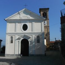
Chiesa San Giacomo
6.8 km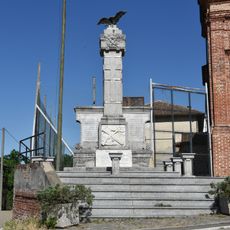
Monumento ai caduti
6.2 km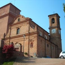
San Giovanni Battista e San Vincenzo
7 km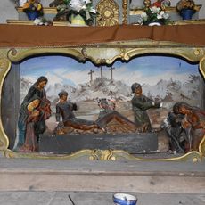
Chiesa di Sant'Antonio di Padova
7.1 km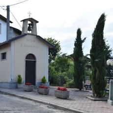
Cappella di san Sebastiano
6.7 km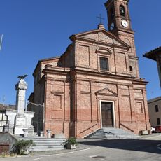
Chiesa dei santi Marcello e Defendente
6.2 km
Town hall of Azzano d'Asti
6.8 km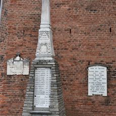
Monumento ai caduti
6.8 km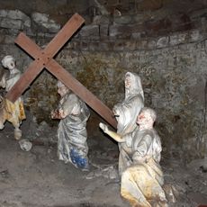
Sacro Monte (cappella IV)
7.1 km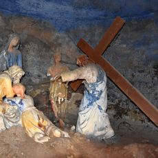
Sacro Monte (cappella VIII)
7.1 km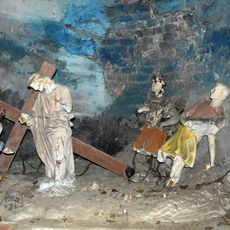
Sacro Monte (cappella VI)
7.1 km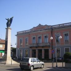
Town hall of Castello di Annone
7 km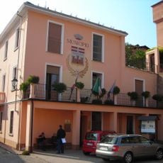
Town hall of Mongardino
7 km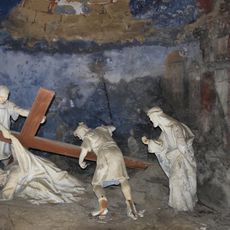
Sacro Monte (cappella III)
7.1 km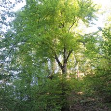
Grande faggio di Rocchetta Tanaro
5.3 km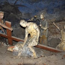
Sacro Monte (cappella VII)
7.1 km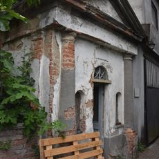
Sacro Monte (cappella V)
7.1 km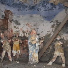
Sacro Monte (cappella II)
7.1 km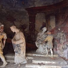
Sacro Monte (cappella I)
7.1 kmReviews
Visited this place? Tap the stars to rate it and share your experience / photos with the community! Try now! You can cancel it anytime.
Discover hidden gems everywhere you go!
From secret cafés to breathtaking viewpoints, skip the crowded tourist spots and find places that match your style. Our app makes it easy with voice search, smart filtering, route optimization, and insider tips from travelers worldwide. Download now for the complete mobile experience.

A unique approach to discovering new places❞
— Le Figaro
All the places worth exploring❞
— France Info
A tailor-made excursion in just a few clicks❞
— 20 Minutes