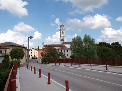
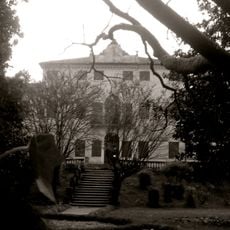
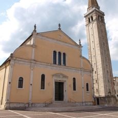
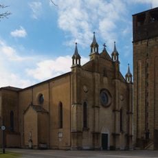
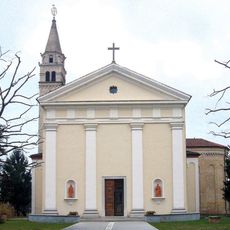
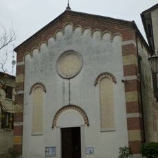
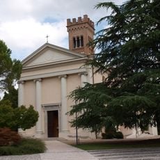
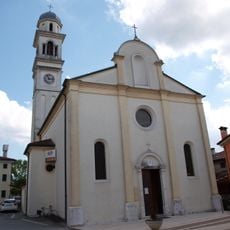
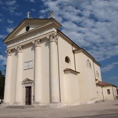
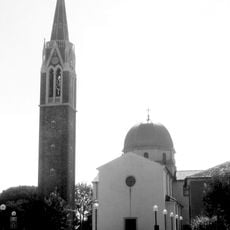
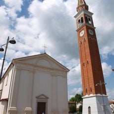
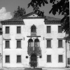
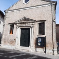
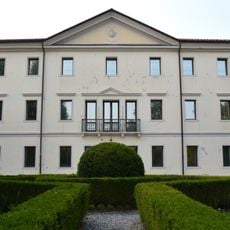
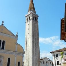
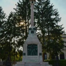
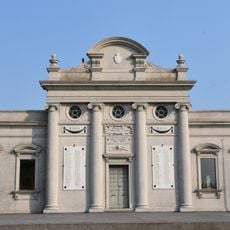
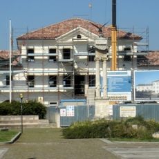
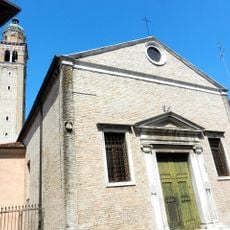
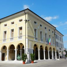
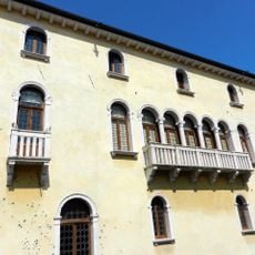
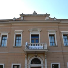
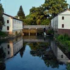
Brugnera, Italian comune
Location: ente di decentramento regionale di Pordenone
Capital city: Brugnera
Elevation above the sea: 16 m
Shares border with: Fontanafredda, Gaiarine, Porcia, Portobuffolé, Prata di Pordenone, Sacile
Website: http://comune.brugnera.pn.it
GPS coordinates: 45.90000,12.53333
Latest update: March 4, 2025 21:19
Villa Varda
1.3 km
Sacile cathedral
6.4 km
Church of San Giorgio Martire
9 km
Chiesa di San Giorgio
8.6 km
San Vigilio
7.6 km
Chiesa di San Ruperto
9.2 km
Santi Martino e Vigilio
7.6 km
Chiesa di San Paolo Apostolo
9.1 km
Portobuffolé cathedral
5.2 km
Chiesa di Santa Lucia
5 km
Chiesa dei Santi Giacomo e Nicolò
703 m
Chiesa di San Lorenzo Martire
3.9 km
San Tommaso di Canterbury
4.7 km
Chiesa dei Santi Pietro e Paolo
6.9 km
Villa Porcia Andreetta
6.6 km
Ex Chiesa di San Gregorio
6.6 km
Teatro Gozzi
9.2 km
Villa Saccomani
9.1 km
Torrione del duomo
6.4 km
Monumento ai caduti
6.7 km
Monumento ai Caduti
9.2 km
Municipio
4.5 km
San Gregorio
6.6 km
Town hall
6.5 km
Palazzo Ragazzoni
6.5 km
Ex palazzo comunale
9.2 km
Fabbricato ai Molini ed ex Casa Ciot
9 km
Castle
9 kmReviews
Visited this place? Tap the stars to rate it and share your experience / photos with the community! Try now! You can cancel it anytime.
Discover hidden gems everywhere you go!
From secret cafés to breathtaking viewpoints, skip the crowded tourist spots and find places that match your style. Our app makes it easy with voice search, smart filtering, route optimization, and insider tips from travelers worldwide. Download now for the complete mobile experience.
A unique approach to discovering new places❞
— Le Figaro
All the places worth exploring❞
— France Info
A tailor-made excursion in just a few clicks❞
— 20 Minutes