
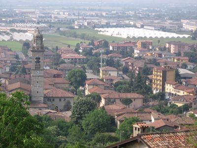
Chiuduno, Italian comune
Location: Province of Bergamo
Capital city: Chiuduno
Elevation above the sea: 218 m
Shares border with: Bolgare, Telgate, Grumello del Monte, Carobbio degli Angeli
Website: http://comune.chiuduno.bg.it
GPS coordinates: 45.65000,9.85000
Latest update: March 20, 2025 00:47
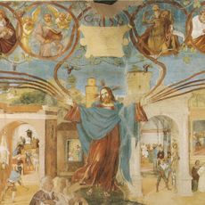
Suardi Chapel
5.2 km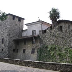
Castello di Calepio
5 km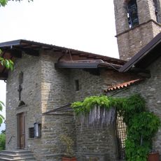
San Giovanni delle Formiche
5.4 km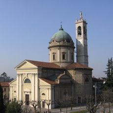
San Pietro Apostolo Church
4.8 km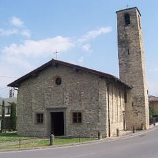
San Giovanni Battista (Cividino)
5.3 km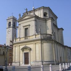
San Giovanni Battista Church
2.6 km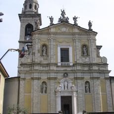
Church of the Assumption of Mary
164 m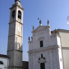
San Pancrazio
3.4 km
San Pietro
4.9 km
San Lorenzo Church
4.9 km
Santissima Trinità Church
2.2 km
San Pietro
4.2 km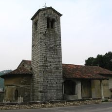
San Giorgio in Campis
3.7 km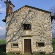
Chiesa di San Lorenzo
4.7 km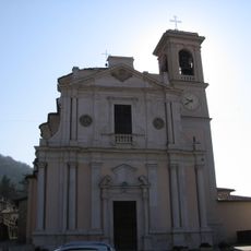
San Giorgio
4.4 km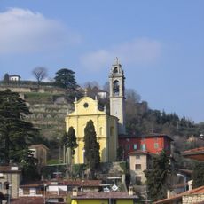
Chiesa di San Pancrazio
2.4 km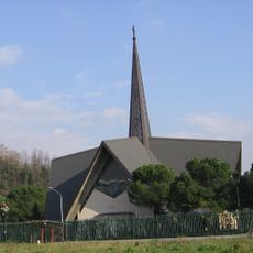
Chiesa di San Pietro
1.6 km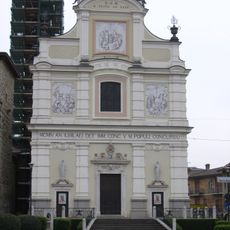
San Pietro
3.3 km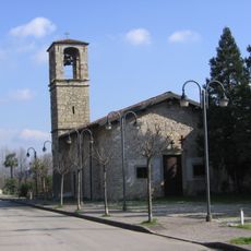
San Pietro Church
5.1 km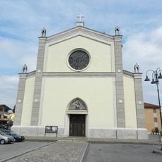
Beata Vergine Addolorata
5.4 km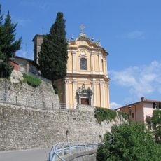
Santa Maria Annunziata church
3.2 km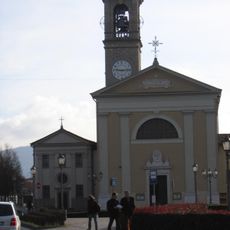
San Giorgio
4.4 km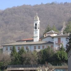
Chiesa di Sant'Anna
4.2 km
Golf Club La Rossera
1.3 km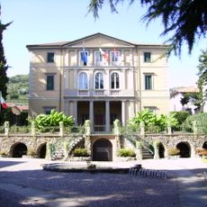
Town hall of Castelli Calepio
4.2 km
Parco del Pitone
3.4 km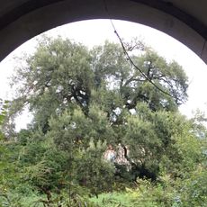
Sughera
3.3 km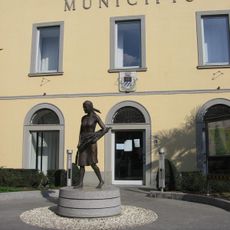
Town hall of Calcinate
5.3 kmVisited this place? Tap the stars to rate it and share your experience / photos with the community! Try now! You can cancel it anytime.
Discover hidden gems everywhere you go!
From secret cafés to breathtaking viewpoints, skip the crowded tourist spots and find places that match your style. Our app makes it easy with voice search, smart filtering, route optimization, and insider tips from travelers worldwide. Download now for the complete mobile experience.

A unique approach to discovering new places❞
— Le Figaro
All the places worth exploring❞
— France Info
A tailor-made excursion in just a few clicks❞
— 20 Minutes