
Spirano, Italian comune
Location: Province of Bergamo
Capital city: Spirano
Elevation above the sea: 154 m
Shares border with: Comun Nuovo, Lurano, Pognano, Brignano Gera d'Adda, Cologno al Serio, Urgnano, Pagazzano, Verdello
Website: http://comune.spirano.bg.it
GPS coordinates: 45.58278,9.66917
Latest update: March 3, 2025 05:02
Castel Liteggio
2.7 km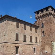
Visconti Rocca
2.7 km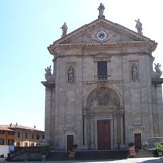
Santi Nazario e Celso, Urgnano
2.5 km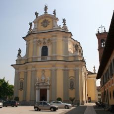
Santa Maria Assunta Church
3 km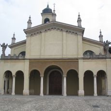
Ex Parrocchiale
2.8 km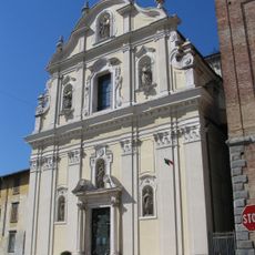
Santi Pietro e Paolo
4.2 km
Castello Secco Suardo
3 km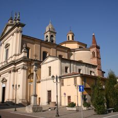
Santa Maria Assunta
4.4 km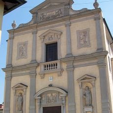
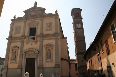
Santi Gervasio e Protasio Church
236 m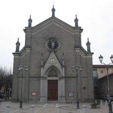
San Carlo Borromeo
2.3 km
San Michele Arcangelo Church
4.4 km
Santissimo Salvatore Church
4.5 km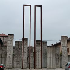
Monumento all'11 settembre
59 m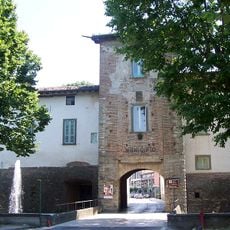
Porta Rocca
2.9 km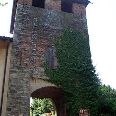
Porta Gnano
3.2 km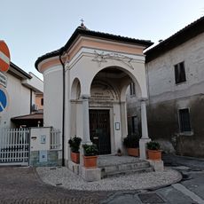
Cappella dell'Addolorata
4.4 km
Santi Pietro e Paolo
4.2 km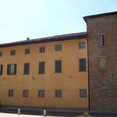
Town hall of Arcene
4.4 km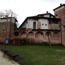
Rocca
2.9 km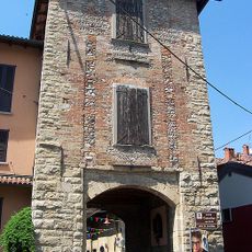
Porta Cassatica
3.2 km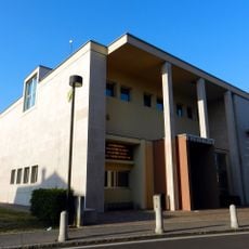
Town hall of Pognano
2 km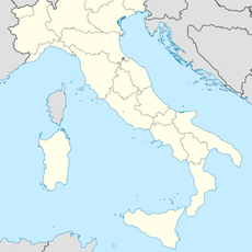
Parco di San Rocco
990 m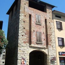
Porta Moringhello
2.8 km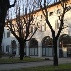
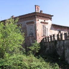
Palazzo Benaglio
4.5 km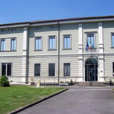
Town hall of Spirano
155 m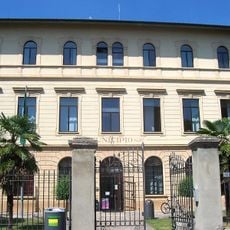
Town hall of Urgnano
2.5 km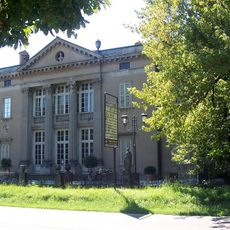
Town hall of Verdello
4.2 km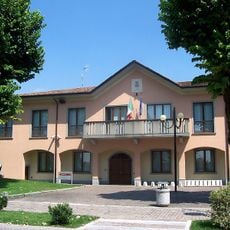
Town hall of Lurano
2.9 kmVisited this place? Tap the stars to rate it and share your experience / photos with the community! Try now! You can cancel it anytime.
Discover hidden gems everywhere you go!
From secret cafés to breathtaking viewpoints, skip the crowded tourist spots and find places that match your style. Our app makes it easy with voice search, smart filtering, route optimization, and insider tips from travelers worldwide. Download now for the complete mobile experience.

A unique approach to discovering new places❞
— Le Figaro
All the places worth exploring❞
— France Info
A tailor-made excursion in just a few clicks❞
— 20 Minutes