
Laurein, municipality in South Tyrol, Italy
Location: South Tyrol
Elevation above the sea: 1,150 m
Shares border with: Borgo d'Anaunia, Proveis, St. Pankraz, Brez, Novella, Ulten
Website: http://gemeinde.laurein.bz.it
GPS coordinates: 46.45441,11.06202
Latest update: March 15, 2025 03:02

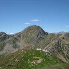
Hochwart
8 km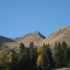
Großer Kornigl
7.6 km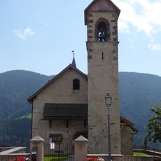
Saint Ulrich church
2.8 km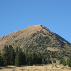
Kleiner Kornigl
7 km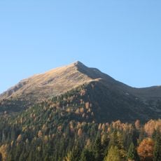
Schöngrubspitze
7.3 km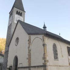
Conversion of Saint Paul church
3.7 km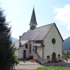
Saint Vigilius church
3.9 km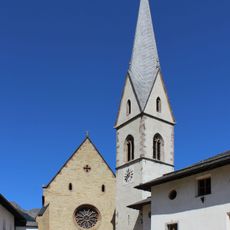
St. Nicholas
3.9 km
St. Vitus in Laurein
81 m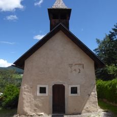
Sainst Andrew and Giles church
3.6 km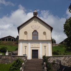
Saints Maurice and Companions church
1.9 km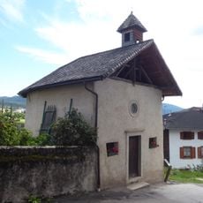
Madonna di Pompei
4.4 km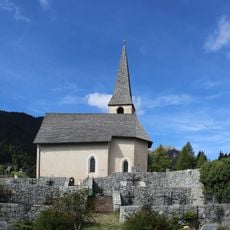
St. Christoph
6.3 km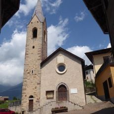
Saint Lawrence church
3.3 km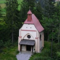
Lourdeskapelle
4 km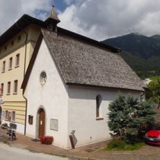
Nativity of Mary church
3.9 km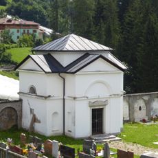
Cemetery chapel
3.7 km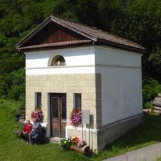
Our Lady of Sorrows chapel
3.8 km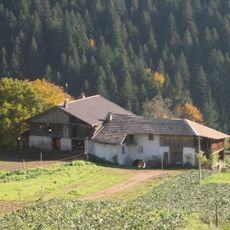
Brößen in Laurein
583 m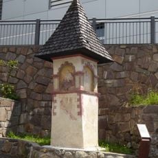
Wayside shrine
3.8 km
Korb
7.9 km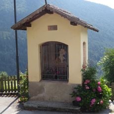
Wayside shrine
3.3 km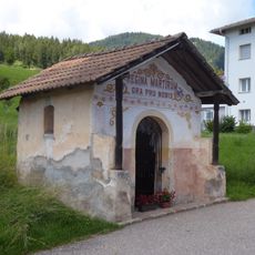
Capitello della Regina dei Martiri
3.6 km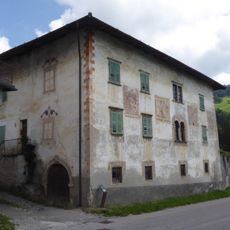
Casa Baldessari
4 km
Seekopf
7.7 km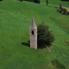
Campanile
1.6 km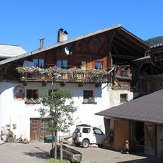
Untergampen
3.8 km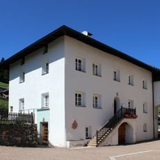
Pfarrwidum
3.9 kmReviews
Visited this place? Tap the stars to rate it and share your experience / photos with the community! Try now! You can cancel it anytime.
Discover hidden gems everywhere you go!
From secret cafés to breathtaking viewpoints, skip the crowded tourist spots and find places that match your style. Our app makes it easy with voice search, smart filtering, route optimization, and insider tips from travelers worldwide. Download now for the complete mobile experience.

A unique approach to discovering new places❞
— Le Figaro
All the places worth exploring❞
— France Info
A tailor-made excursion in just a few clicks❞
— 20 Minutes