
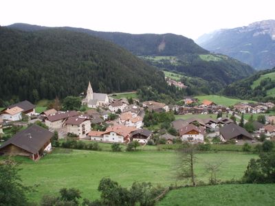
Mölten, municipality in South Tyrol, Italy
Location: South Tyrol
Elevation above the sea: 1,140 m
Shares border with: Burgstall, Sarntal, Vöran, Gargazon, Jenesien, Terlan
Website: http://gemeinde.moelten.bz.it
GPS coordinates: 46.58639,11.25616
Latest update: March 4, 2025 07:41
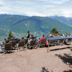
Knottnkino
4.9 km
Fossils museum in Meltina
178 m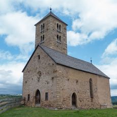
Saint James the Greater church
1.9 km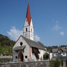
St. Nicholas
3.1 km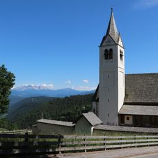
St. Sebastian
3.1 km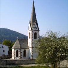
St. Johann
6.9 km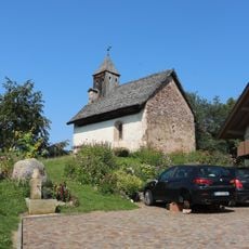
St. Georg in Versein
2.2 km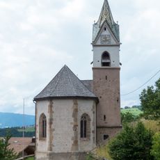
St. Silvester und Blasius in Verschneid
2.6 km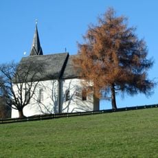
St. Anna in Aschl
2.9 km
Magdalenenkapelle Kampidell
4 km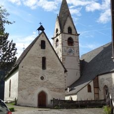
Assumption of Mary
3 m
St. Anna
9 m
Alte Pfarrkirche St. Josef
3.9 km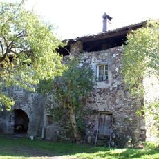
Vigiliushof
5.5 km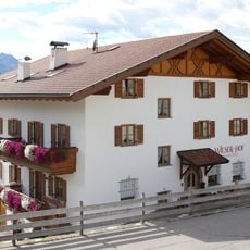
Wieser
2.9 km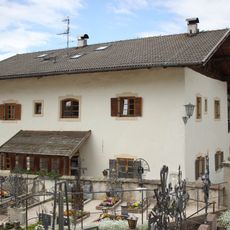
Pfarrwidum
44 m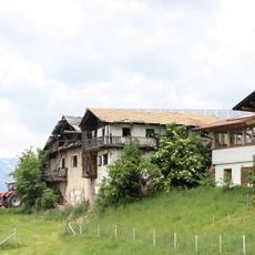
Hilber
1.9 km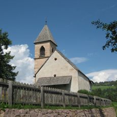
Saint Valentine church
5.4 km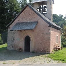
St. Ulrich in Gschleier
1.2 km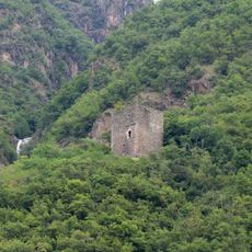
Kröllturm
3.7 km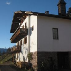
Thöt
3.9 km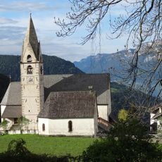
Maria Himmelfahrt mit Friedhofskapelle St. Anna und Friedhof in Mölten
9 m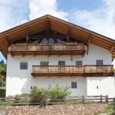
Genspann
167 m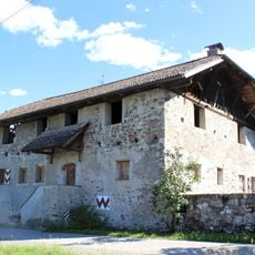
Grieser
5.7 km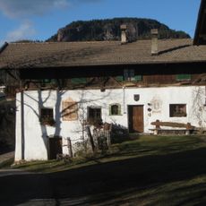
Plattner
3.3 km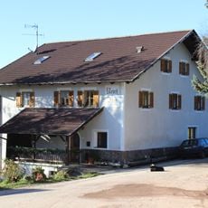
Ursch
1.9 km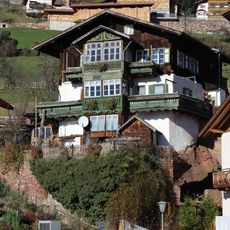
Reisergass 5-7
201 m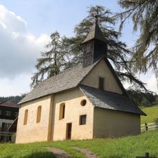
Prälatenhaus Kampidell
4 kmReviews
Visited this place? Tap the stars to rate it and share your experience / photos with the community! Try now! You can cancel it anytime.
Discover hidden gems everywhere you go!
From secret cafés to breathtaking viewpoints, skip the crowded tourist spots and find places that match your style. Our app makes it easy with voice search, smart filtering, route optimization, and insider tips from travelers worldwide. Download now for the complete mobile experience.

A unique approach to discovering new places❞
— Le Figaro
All the places worth exploring❞
— France Info
A tailor-made excursion in just a few clicks❞
— 20 Minutes