Rokiškis, city in northeastern Lithuania
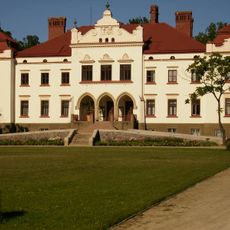
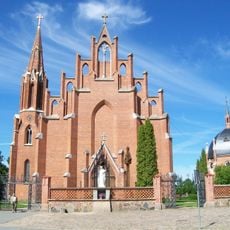
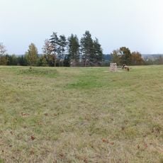
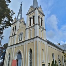
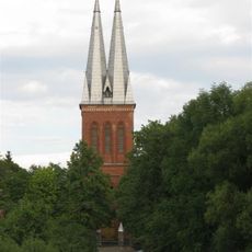
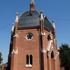
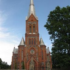
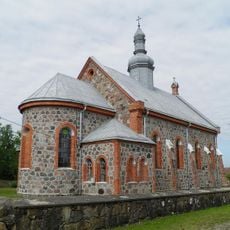
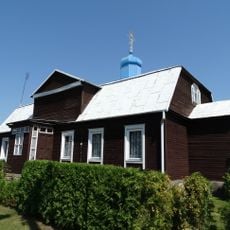
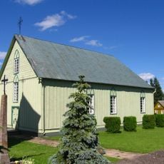
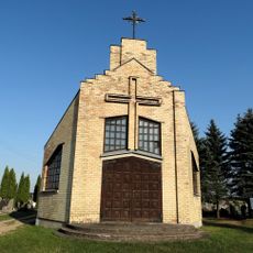
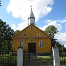
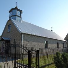
Rokiškis is a small city in Lithuania with a long history and preserved older buildings. The city features several attractions including a church, an independence monument, a museum, and parks with old trees.
Rokiškis developed from a small settlement into a city of regional importance. The place maintained its significance through different historical periods and today stands as a symbol of the country's resilience.
The name Rokiškis reflects the city's historical roots. Local residents maintain their traditions through handmade crafts sold in markets and hearty food prepared the same way for generations.
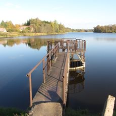
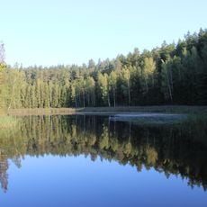
The city is easy to explore on foot and the streets invite leisurely walks. Visitors find cafes and restaurants with local food plus public spaces like parks and a beach for relaxation.
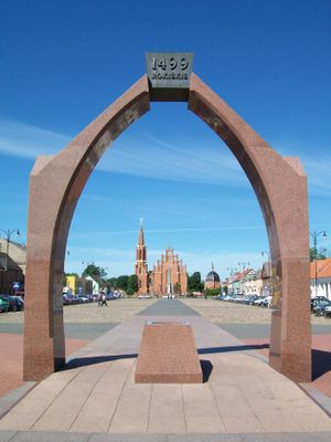
A war memorial called 'Arka' stands in the main square honoring those who fought for the country. The memorial offers a quiet moment to reflect on the city's past.
The community of curious travelers
AroundUs brings together thousands of curated places, local tips, and hidden gems, enriched daily by 60,000 contributors worldwide.