
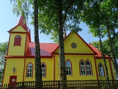
Saint Mary of Help Church, Viekšnaliai, church building in Trakai District Municipality, Lithuania
Location: Trakai District Municipality
Location: Viekšnaliai
GPS coordinates: 55.84048,22.51504
Latest update: September 25, 2025 07:40
Šatrija
4.5 km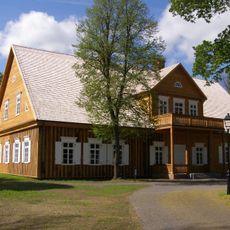
Biržuvėnai manor
6.9 km
Užventis manor
10.7 km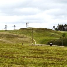
Sprūdė
6.5 km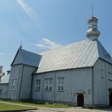
Church of St. Mary Magdalene, Užventis
10.9 km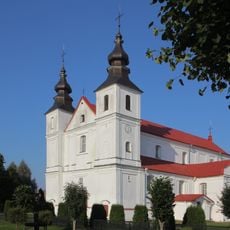
Church of St. Peter and St. Paul, Varniai
14.1 km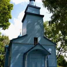
Orthodox church in Kolainiai
11.7 km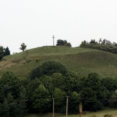
Moteraitis
8.5 km
Samogitian Diocese Museum
14 km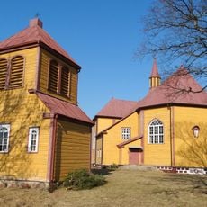
Church of All Saints, Luokė
5.7 km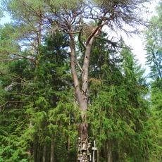
Martyno pušis
10.9 km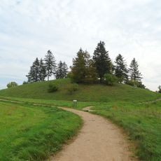
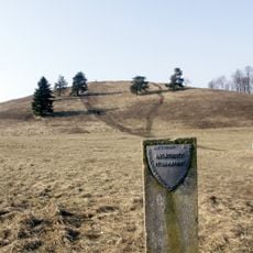
Pavandenės alkakalnis
7.1 km
Duonkalnis
9.5 km
Daktariškės gyvenvietės
9.9 km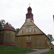
Church of St. Anne, Pavandenė
7.9 km
Biržuvėnai hillfort
6.5 km
Church of the Blessed Virgin Mary, Queen of Mount Carmel, Kolainiai
11.6 km
Chapel, Luokė
5.5 km
Širmė
8.6 km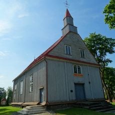
Church of St. Michael the Archangel, Janapolė
8.7 km
Sėbai hillfort
8.4 km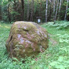
The great boulder of Jomantai
10.4 km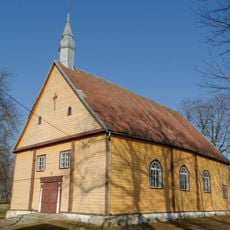
Church of St. John the Almoner, Upyna
13.2 km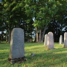
Jewish cemeteries in Varniai
13.6 km
Miksodžio piliakalnis
5.4 km
Church of St. Anthony of Padua, Vidsodis
13.3 km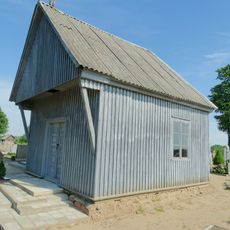
Chapel in Janapolė
8.6 km
Kuršų kapinynas
4.3 kmVisited this place? Tap the stars to rate it and share your experience / photos with the community! Try now! You can cancel it anytime.
Discover hidden gems everywhere you go!
From secret cafés to breathtaking viewpoints, skip the crowded tourist spots and find places that match your style. Our app makes it easy with voice search, smart filtering, route optimization, and insider tips from travelers worldwide. Download now for the complete mobile experience.

A unique approach to discovering new places❞
— Le Figaro
All the places worth exploring❞
— France Info
A tailor-made excursion in just a few clicks❞
— 20 Minutes