Kentraičių pušis
Location: Šiauliai District Municipality
GPS coordinates: 55.99349,22.76393
Latest update: July 14, 2025 06:06
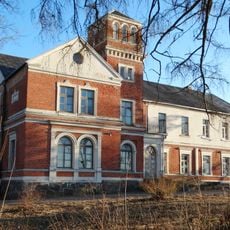
Varputėnai Manor
14.9 km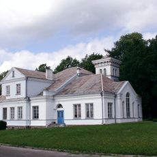
Paežeriai Manor
5.5 km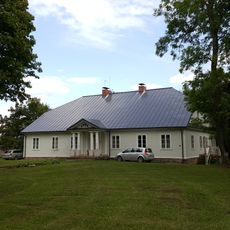
Pavirvyčio dvaras
14.2 km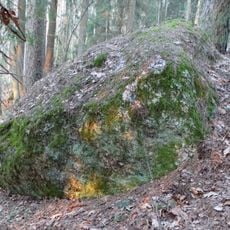
Laumės akmuo
13 km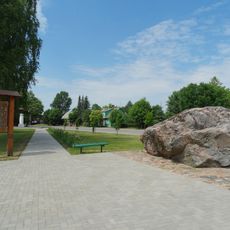
Tryškių akmuo
13.3 km
Church of St. John the Baptist, Kuršėnai
11 km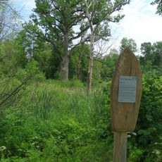
Pavirvyčio alėjos ąžuolas
14.1 km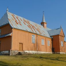
Church of the Holy Trinity, Tryškiai
13.4 km
Romučių piliakalnis
10.2 km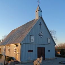
Micaičių Nukryžiuotojo Jėzaus bažnyčia
9.6 km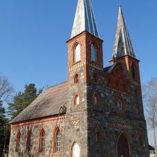
Church of the Providence of God in Kaunatava
12.5 km
Church of St. Bartholomew, Raudėnai
3.6 km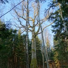
Paežerių ąžuolas
5.2 km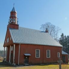
Church of the Holy Guardian Angels, Ubiškė
16.5 km
Buišų piliakalnis
14 km
Pavenčių ąžuolas
10.5 km
Dugnų ąžuolas
4.7 km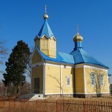
Orthodox church in Kaunatava
12.5 km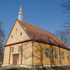
Church of St. John the Almoner, Upyna
9.9 km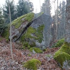
Urkuvėnų akmuo
12.5 km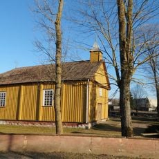
Church of St. Anthony of Padua, Varputėnai
14.7 km
Капліца ў Трышкеі
13.2 km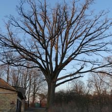
Milvydų ąžuolas
10.5 km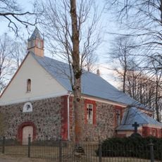
Church of St. Simon and St. Jude Thaddeus the Apostles, Juozapava
3.8 km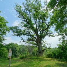
Pavirvyčio dvaro ąžuolas
14 km
Old Believers Church in Dubiniai
9.9 km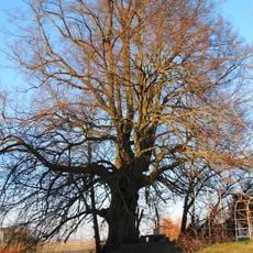
Šilėnų liepa
8.8 km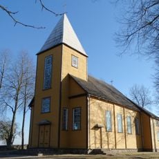
Church of St. Anthony of Padua, Vidsodis
15.4 kmReviews
Visited this place? Tap the stars to rate it and share your experience / photos with the community! Try now! You can cancel it anytime.
Discover hidden gems everywhere you go!
From secret cafés to breathtaking viewpoints, skip the crowded tourist spots and find places that match your style. Our app makes it easy with voice search, smart filtering, route optimization, and insider tips from travelers worldwide. Download now for the complete mobile experience.

A unique approach to discovering new places❞
— Le Figaro
All the places worth exploring❞
— France Info
A tailor-made excursion in just a few clicks❞
— 20 Minutes