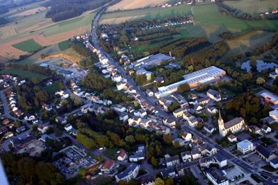
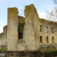
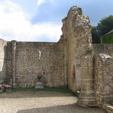
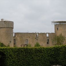
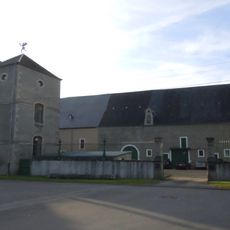
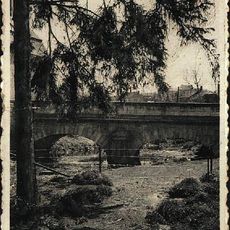
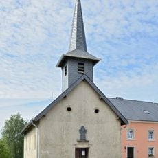
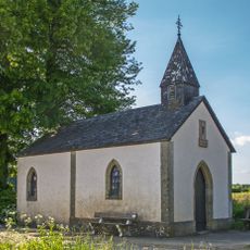
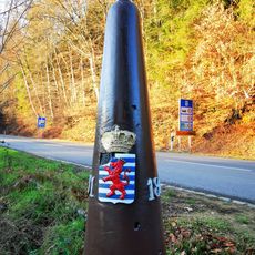
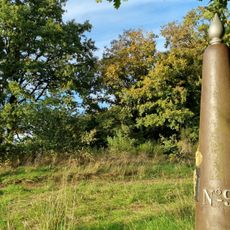
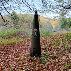
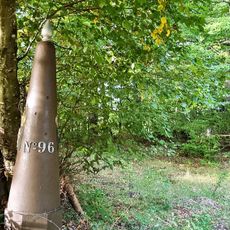
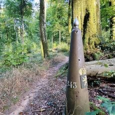
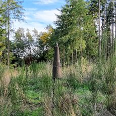
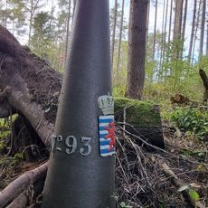
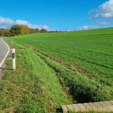
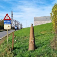
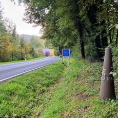
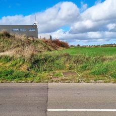
Steinfort, human settlement in Luxembourg
Location: Steinfort
Elevation above the sea: 307 m
Part of: Steinfort
GPS coordinates: 49.66139,5.91917
Latest update: March 15, 2025 22:25
Koerich Castle
2.4 km
Clairefontaine Abbey
3.9 km
Autelbas Castle
4.2 km
Castle of Sterpenich
2.7 km
Our Lady Chapel, Clairefontaine
3.9 km
Fockemillen
2.7 km
Stirling Memorial Koerich
3.3 km
Chapelle Saint-Joseph
5.3 km
Eech zu Koler
4 km
Maria-Theresien-Brücke in Steinfort
439 m
Lann zu Klengbetten
2.4 km
Wasserturm Kleinbettingen
1.5 km
Chapelle Saint-Roch
3.3 km
Rentert Chapel
4.9 km
Boundary mark LB 092
4.7 km
Gossemaark LB091
4.6 km
Gossemaark LB098
5 km
Boundary mark LB 101
5.2 km
Boundary mark LB 095
4.9 km
Boundary mark LB 099
5.2 km
Boundary mark LB 096
4.9 km
Boundary mark LB 097
5 km
Boundary mark LB 094
4.8 km
Gossemaark LB093
4.7 km
Boundary mark LB 068
3.3 km
Gossemaark LB066
3.7 km
Gossemaark LB102
5.2 km
Gossemaark LB067
3.3 kmReviews
Visited this place? Tap the stars to rate it and share your experience / photos with the community! Try now! You can cancel it anytime.
Discover hidden gems everywhere you go!
From secret cafés to breathtaking viewpoints, skip the crowded tourist spots and find places that match your style. Our app makes it easy with voice search, smart filtering, route optimization, and insider tips from travelers worldwide. Download now for the complete mobile experience.
A unique approach to discovering new places❞
— Le Figaro
All the places worth exploring❞
— France Info
A tailor-made excursion in just a few clicks❞
— 20 Minutes