
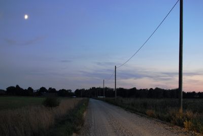
Nida, village
Location: Rucava Parish
Elevation above the sea: 1 m
GPS coordinates: 56.07661,21.06482
Latest update: April 3, 2025 06:20

Laukžemės dvaras
8.8 km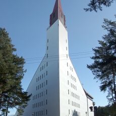
Church of the Blessed Virgin Mary, Star of the Seas, Šventoji
5.5 km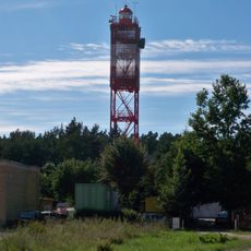
Šventoji lighthouse
5.8 km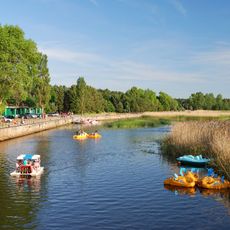
Port of Šventoji
5.4 km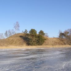
Senoji Įpiltis hillfort
12.4 km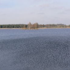
Lazdininkai Pond
9.8 km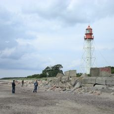
Pape lighthouse
9.1 km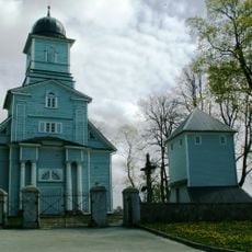
Church of St. Andrew the Apostle, Laukžemė
8.7 km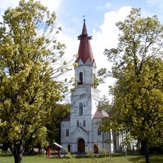
Lutheran church in Rucava
11.1 km
Šventosios senovės gyvenvietė
7 km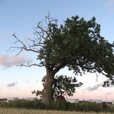
Būtingė oak
2.7 km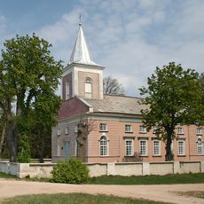
Evangelical Lutheran Church in Būtingė
5.5 km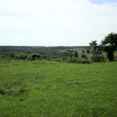
Sventāja River Valley
12.3 km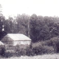
Mažučių dvaras
10.4 km
Pelėkių akmuo
9.5 km
Auksūdžio II piliakalnis
12.5 km
Nida Seashore
3.4 km
Sūdėnų kūlgrinda
9.4 km
Pelėkių kaimavietė
11.9 km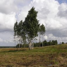
Sūdėnų pilkapynas
9.7 km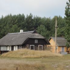
Zemnieku sēta "Jūrkalni"
11.7 km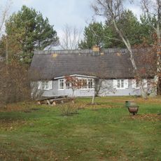
Zemnieku sēta "Agatnieki"
11.6 km
Zvejnieku- zemnieku sēta "Jūrmalnieki"
199 m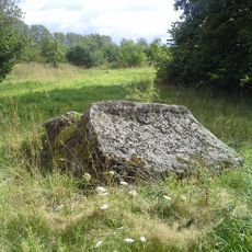
Klaustiņu akmens - kulta vieta
11.1 km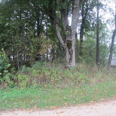
Dzintarnieku viduslaiku kapsēta
12.7 km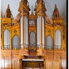
Ērgeļu prospekts
11.1 km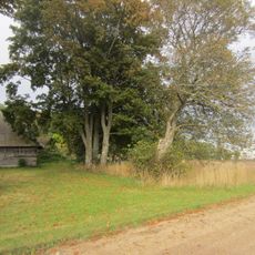
Kalna Urbānu senkapi
12.4 km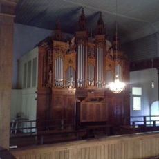
Pipe organ of Lutheran church in Rucava
11.1 kmReviews
Visited this place? Tap the stars to rate it and share your experience / photos with the community! Try now! You can cancel it anytime.
Discover hidden gems everywhere you go!
From secret cafés to breathtaking viewpoints, skip the crowded tourist spots and find places that match your style. Our app makes it easy with voice search, smart filtering, route optimization, and insider tips from travelers worldwide. Download now for the complete mobile experience.

A unique approach to discovering new places❞
— Le Figaro
All the places worth exploring❞
— France Info
A tailor-made excursion in just a few clicks❞
— 20 Minutes