
Inčukalns Municipality, municipality of Latvia between 2009 and 2021
Location: Latvia
Inception: July 1, 2009
Capital city: Inčukalns
Shares border with: Ādaži Municipality, Sēja Municipality, Krimulda Municipality, Sigulda Municipality, Ropaži Municipality, Garkalne Municipality
Website: http://incukalns.lv
GPS coordinates: 57.08333,24.68333
Latest update: March 3, 2025 00:49

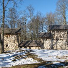
Ropaži Castle ruins
12.1 km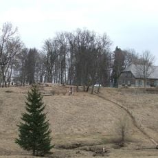
Kubeseles pilskalns
10.1 km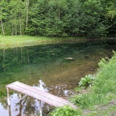
Mežmuiža springs
7.3 km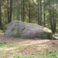
Černausku boulder
6.7 km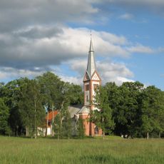
Krimulda Church
10.3 km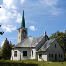
Allaži Lutheran church in Stīveri
8.7 km
Kājnieku tilts pār Gauju pie Velnalas
10.5 km
Ezernieku karsta kritenes
7.8 km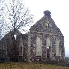
Zviedru baznīca ar viduslaiku kapsētu
10.1 km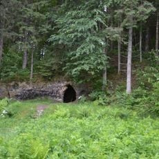
Kubeseles ala
10 km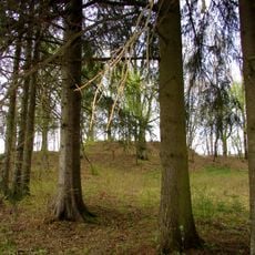
Gavēņi hillfort
11.4 km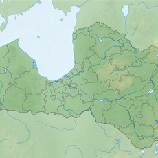
Lojas pilskalns
7 km
Šveices iela 27a
12.7 km
Krišjāņa Valdemāra iela 3
12.8 km
Viesulēnu slāņi
8.5 km
Krimuldas luterāņu baznīca
10.2 km
Ropažu mācītājmāja
12.1 km
Šveices iela 21
12.5 km
Burial ground in Ropaži
12.7 km
Inčukalna Velna ala - kulta vieta
5.4 km
Mazie Kangari
7.2 km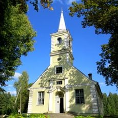
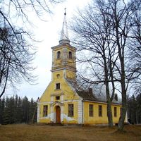
Lutheran church near Vangaži
7.4 km
Dzīvojamā ēka
12.7 km
Šveices iela 6
12.6 km
Piķenes krauja un alas
11.1 km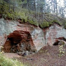
Ziedleju klintis
8.8 km
Kaupo kalns - nostāstu vieta
10 km
Dzīvojamā ēka
12.8 kmReviews
Visited this place? Tap the stars to rate it and share your experience / photos with the community! Try now! You can cancel it anytime.

Discover hidden gems everywhere you go!
From secret cafés to breathtaking viewpoints, skip the crowded tourist spots and find places that match your style. Our app makes it easy with voice search, smart filtering, route optimization, and insider tips from travelers worldwide. Download now for the complete mobile experience.

A unique approach to discovering new places❞
— Le Figaro
All the places worth exploring❞
— France Info
A tailor-made excursion in just a few clicks❞
— 20 Minutes