
Aqueduct and bridge, Ptolemais, Water supply / storage / aqueduct / cistern in Ptoelmais, Libya.
Location: Marj District
Part of: Ptolemais, Wādī Zu'ānah, Cyrenaica, Roman Empire, late antiquity, Byzantine Empire
GPS coordinates: 32.71031,20.96150
Latest update: March 15, 2025 06:06
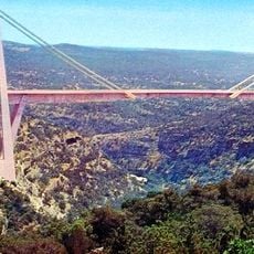
Wadi el Kuf Bridge
56.6 km
El-Kouf National Park
23.1 km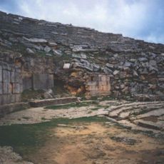
Greek Theatre of Cyrene
84.2 km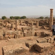
Taucheira
41.7 km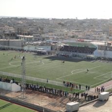
Sheikh Chadae Stadium
73.3 km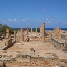
Colonnaded Palace, Ptolemais
718 m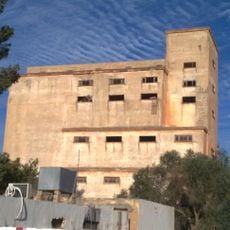
Alsells Tower, Bayda
72.7 km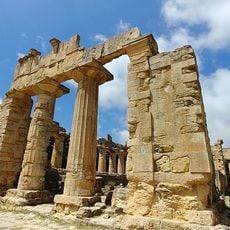
Temple of Zeus
85.3 km
Hawá as Sa‘d
34.8 km
Temple of Apollo in Cyrene
84.5 km
House of Jason Magnus, Cyrene
84.7 km
Exedra of Apollo Karneios, Cyrene
84.4 km
Naval Monument, Cyrene
84.6 km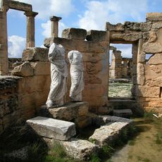
Tomb of Battos, Cyrene
84.6 km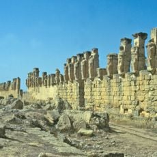
Stoa of Hermes and Hercules, Cyrene
84.7 km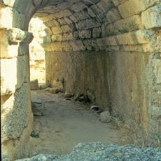
Strategheion, Cyrene
84.4 km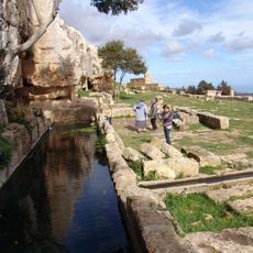
Spring of Kura, Cyrene
84.3 km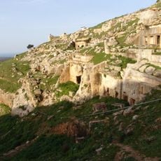
Cyrene, North Necropolis
84.5 km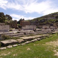
Altar of Apollo (downtown) in Cyrene
84.4 km
Theatre 4, Cyrene
84.7 km
Stazione
24.6 km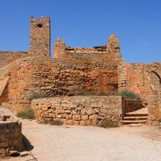
Taucheira/Arsinoe (Libya)
41.6 km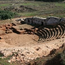
Theatre 5, Cyrene
84.6 km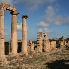
Agora West Stoa, Cyrene
84.6 km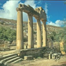
Greek Propylaeum, Cyrene
84.4 km
Former church in Massah
62.6 km
Agora North Stoa, Cyrene
84.6 km
Theatre 2, Cyrene
84.8 kmReviews
Visited this place? Tap the stars to rate it and share your experience / photos with the community! Try now! You can cancel it anytime.
Discover hidden gems everywhere you go!
From secret cafés to breathtaking viewpoints, skip the crowded tourist spots and find places that match your style. Our app makes it easy with voice search, smart filtering, route optimization, and insider tips from travelers worldwide. Download now for the complete mobile experience.

A unique approach to discovering new places❞
— Le Figaro
All the places worth exploring❞
— France Info
A tailor-made excursion in just a few clicks❞
— 20 Minutes