
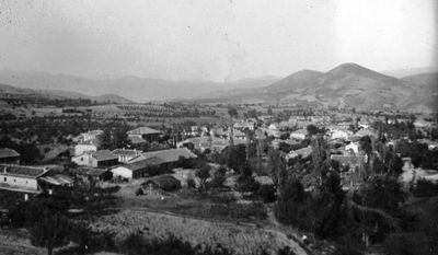
Furka, village in North Macedonia
Location: Dojran Municipality
Elevation above the sea: 256 m
GPS coordinates: 41.24060,22.61330
Latest update: April 14, 2025 14:32
Isar
10.8 km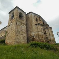
St. Elijah Church
10.6 km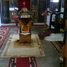
St. George's Church (Valandovo)
11 km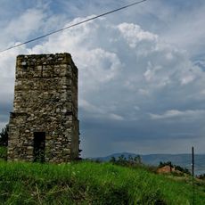
Dojran Clock Tower
10.9 km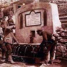
Фердинандова чешма
8 km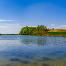
Selemli Lake
11 km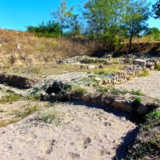
Stakina češma
9.2 km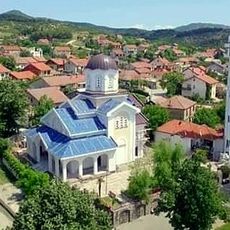
St. Athanasius Church
5.1 km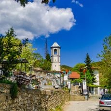
St. Demetrious Church (Valandovo)
10.2 km
St. George's Church
10.5 km
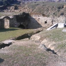
Дедели (археолошко наоѓалиште)
4.9 km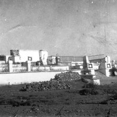
Valandovo Greek military cemetery
8.9 km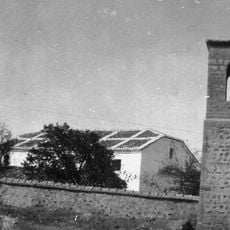
Saint Elijah Church, Furka
69 m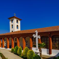
St. Nedela Church
9.7 km
Ада (Ѓавато)
8.7 km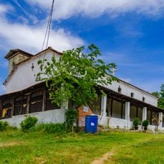
St. Petka Church
10.3 km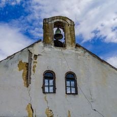
St. Demetrius Church
10 km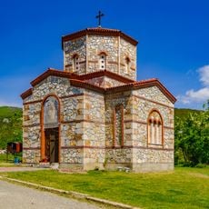
St. Elijah Church
9.2 km
Dojran Hamam
10.7 km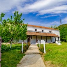
St. Michael the Archangel Church
9.8 km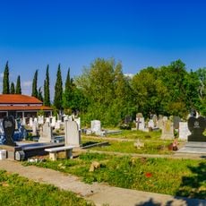
St. Petka Church
10.2 km
Dormition of the Theotokos Church
8.2 km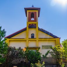
St. Clement of Ohrid Church
9.8 km
Ветка Црква (Прдејци)
9.8 km
Ади (Грчиште)
10.4 km
Црква „Св. Ѓорѓи“ - Брајковци
9.2 km
Татарли Чука
7.8 km
Amzaliski Rid
4.3 kmVisited this place? Tap the stars to rate it and share your experience / photos with the community! Try now! You can cancel it anytime.
Discover hidden gems everywhere you go!
From secret cafés to breathtaking viewpoints, skip the crowded tourist spots and find places that match your style. Our app makes it easy with voice search, smart filtering, route optimization, and insider tips from travelers worldwide. Download now for the complete mobile experience.

A unique approach to discovering new places❞
— Le Figaro
All the places worth exploring❞
— France Info
A tailor-made excursion in just a few clicks❞
— 20 Minutes