
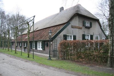
Peelkant 26, Sint Anthonis, farmhouse in Sint Anthonis, Netherlands
Location: Sint Anthonis
Inception: 1730
Address: Peelkant 26
GPS coordinates: 51.62327,5.87262
Latest update: March 19, 2025 18:40

Sint Antonius Abtkerk
798 m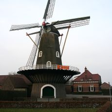
Luctor et Emergo
4 km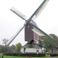
De Korenbloem
1.8 km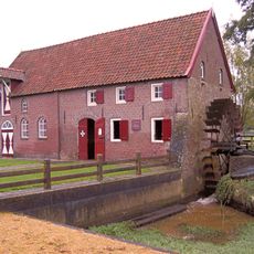
D’n Olliemeulen
1.9 km
Bottermien
723 m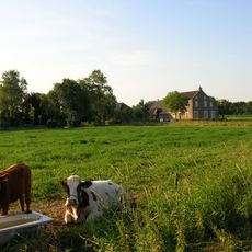
Grotestraat 1, Oploo
1.1 km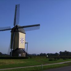
De Hamse Molen
4.2 km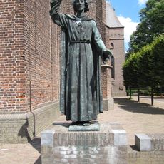
Statue of Sacred Heart of Jesus Christ
770 m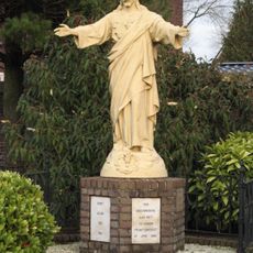
Statue of Sacred Heart of Jesus Christ
1.6 km
Lactaria
3.8 km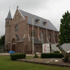
Heilig Hart van Jezuskerk
4.6 km
Catharinakerk
1.2 km
N.V. Lactaria: hoofdgebouw
3.8 km
Noordkant 13, Sint Anthonis
1.2 km
N.V. Lactaria: veestallen
3.8 km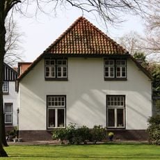
N.V. Lactaria: hooischuur
3.8 km
Molenstraat 11, Sint Anthonis
525 m
Sint-Matthiaskerk
1.6 km
Brink 7, Sint Anthonis
667 m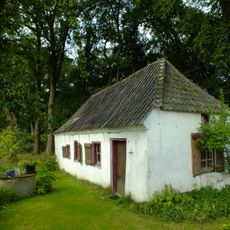
Keuterboerderijtje
1.1 km
Kazemat van het s-type, onderdeel uitmakend van de Maas-IJssellinie
4.5 km
Christinehoeve, Oploo
5 km
Plaquette voor Indiëgangers
2 km
De zon van onze hoop
830 m
Ruïnes van kazemattenvan het type brug- of rivierkazemat
4.5 km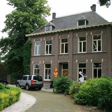
Molenaarshuis
4 km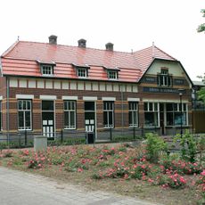
Winkel; woonhui
3.9 km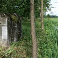
De Peel Raamstelling, kazemat 348
4.8 kmReviews
Visited this place? Tap the stars to rate it and share your experience / photos with the community! Try now! You can cancel it anytime.
Discover hidden gems everywhere you go!
From secret cafés to breathtaking viewpoints, skip the crowded tourist spots and find places that match your style. Our app makes it easy with voice search, smart filtering, route optimization, and insider tips from travelers worldwide. Download now for the complete mobile experience.

A unique approach to discovering new places❞
— Le Figaro
All the places worth exploring❞
— France Info
A tailor-made excursion in just a few clicks❞
— 20 Minutes