
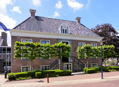
Gemeentehuis, Rathaus in den Niederlanden
Location: Ferwerderadiel
Address: Hogebeintumerdijk 2 9172PJ
GPS coordinates: 53.33773,5.82355
Latest update: April 2, 2025 02:40
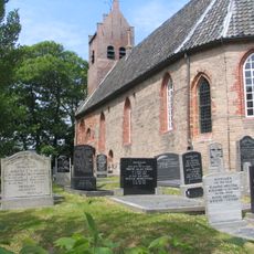
Hervormde kerk, Hegebeintum
1.7 km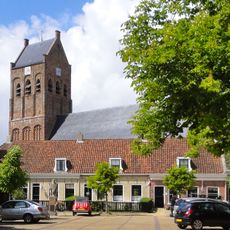
Sint-Martinuskerk (Ferwerd)
131 m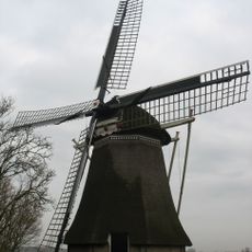
De Phenix
1.9 km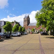
Vrijhof
87 m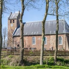
Kerk, Westernijtsjerk
1.9 km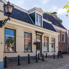
Vrijhof 5
85 m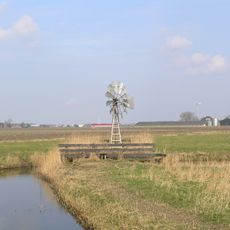
Windmotor Ferwerd
1.6 km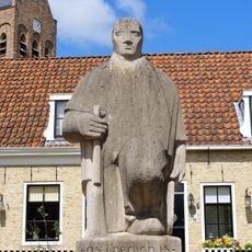
Verzetsmonument Ferwerd
79 m
Kerkpad 4, Ferwerd
165 m
Stienstrahearehuzinge
195 m
Vrijhof 7
99 m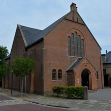
Liudgertsjerke
58 m
Hoofdstraat 33
233 m
Vrijhof 9
105 m
It Skuonmakkershûs
75 m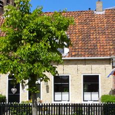
Vrijhof 8 (Ferwert)
100 m
Tersted
1.1 km
Reinderslaan 1, Ferwerd
200 m
Pand met verdieping met zesruitsvensters en met gootlijst op houten consoles onder met pannen gedekt schilddak
221 m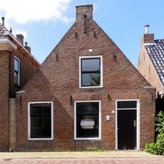
Nije Buorren 13
237 m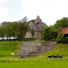
Terp
1.8 km
Marrumerweg 3
28 m
Pand met verdieping met zesruitsvensters en met gootlijst op houten consoles onder met pannen gedekt schilddak
230 m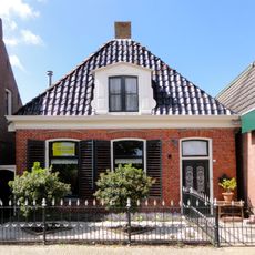
Pand zonder verdieping tegen gevels met houten gootlijst onder hoog schilddak met dakkapellen en topschoorstenen
253 m
Panden onder lang zadeldak tussen topgevels met aan de westzijde een poortdoorgang naar het kerkhof
102 m
Molenlaan 1
378 m
Verhoogde woonplaats
1.4 km
Verhoogde woonplaats
1.4 kmVisited this place? Tap the stars to rate it and share your experience / photos with the community! Try now! You can cancel it anytime.
Discover hidden gems everywhere you go!
From secret cafés to breathtaking viewpoints, skip the crowded tourist spots and find places that match your style. Our app makes it easy with voice search, smart filtering, route optimization, and insider tips from travelers worldwide. Download now for the complete mobile experience.

A unique approach to discovering new places❞
— Le Figaro
All the places worth exploring❞
— France Info
A tailor-made excursion in just a few clicks❞
— 20 Minutes