
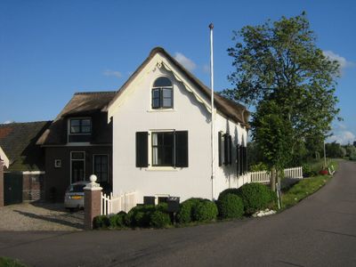
Holendrechterweg 53, Ouderkerk aan de Amstel, farmhouse in Ouder-Amstel, Netherlands
Location: Ouder-Amstel
Address: Holendrechterweg 53
GPS coordinates: 52.28510,4.92177
Latest update: March 30, 2025 05:57
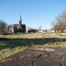
Beth Haim
1.6 km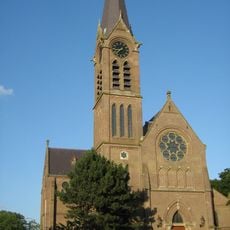
Sint Urbanuskerk
1.7 km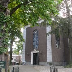
Amstelkerk
1.8 km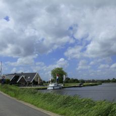
Voetangelbrug
697 m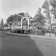
Kerkbrug
1.8 km
Mural Foodstrip
1.9 km
Fietsbrug Ouderkerkerplas
1.7 km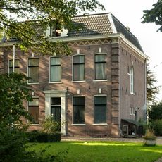
Pastorie Nederlands Hervormde Kerk
1.8 km
Rondehoep Oost 8, Ouderkerk aan de Amstel
391 m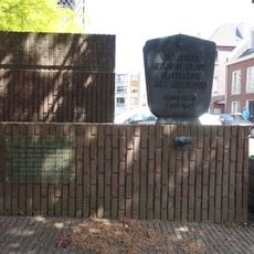
Oorlogsmonument
1.8 km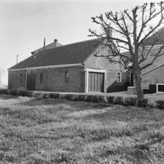
Dwarskade 3, Abcoude
1.6 km
Kerkstraat 9, Ouderkerk aan de Amstel
1.8 km
Pastorie Sint Urbanuskerk, Ouderkerk aan de Amstel
1.7 km
Achterdijk 2, Ouderkerk aan de Amstel
1.8 km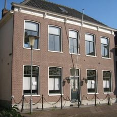
Kerkstraat 54, Ouderkerk aan de Amstel
1.8 km
De Amstelbocht
1.3 km
Dorpsstraat 1, Ouderkerk aan de Amstel
1.7 km
Zorg en Hoop
1.4 km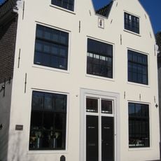
Kerkstraat 46, Ouderkerk aan de Amstel
1.8 km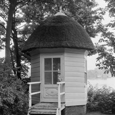
In de tuin van de pastorie theekoepel, van eenvoudige late architectuur, doch van historische waarde
1.8 km
Kerkstraat 10, Ouderkerk aan de Amstel
1.7 km
Kerkstraat 4, Ouderkerk aan de Amstel
1.8 km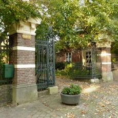
Nederlands Hervormde Kerk: toegangspartij met hek
1.8 km
Nederlands Hervormde Kerk: hekwerk
1.8 km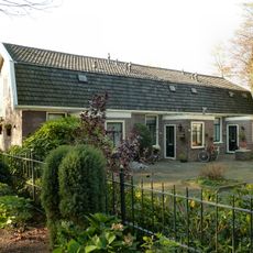
Woonblok van drie diaconiewoningen onder een kap
1.8 km
Gezellenhuis
1.6 km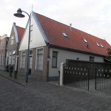
Amstelzijde 28, Amstelveen
1.9 km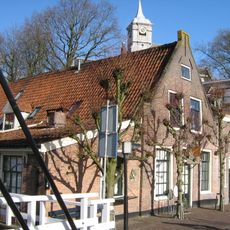
Kerkstraat 1, Ouderkerk aan de Amstel
1.8 kmVisited this place? Tap the stars to rate it and share your experience / photos with the community! Try now! You can cancel it anytime.
Discover hidden gems everywhere you go!
From secret cafés to breathtaking viewpoints, skip the crowded tourist spots and find places that match your style. Our app makes it easy with voice search, smart filtering, route optimization, and insider tips from travelers worldwide. Download now for the complete mobile experience.

A unique approach to discovering new places❞
— Le Figaro
All the places worth exploring❞
— France Info
A tailor-made excursion in just a few clicks❞
— 20 Minutes