
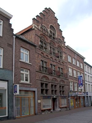
Brugstraat 7, Roermond, building in Roermond, Netherlands
Location: Roermond
Address: Brugstraat 7
GPS coordinates: 51.19450,5.98496
Latest update: March 4, 2025 20:14
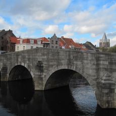
Stenen Brug
98 m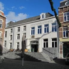
Historiehuis
72 m
Steenweg 2, Roermond
103 m
Roermond public library
57 m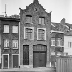
Vismarkt 3, Roermond
132 m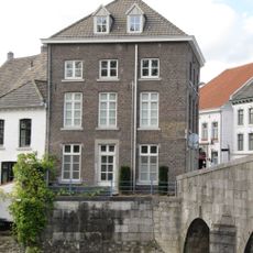
Voorstad Sint Jacob 1, Roermond
98 m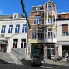
Neerstraat 13, Roermond
64 m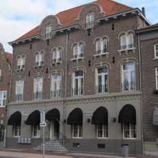
Roersingel 3, Roermond
69 m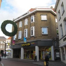
Markt 8, Roermond
84 m
Markt 16, Roermond
131 m
Luifelstraat 34, Roermond
95 m
Vismarkt 5, Roermond
133 m
Stadsbibliotheek Roermond
59 m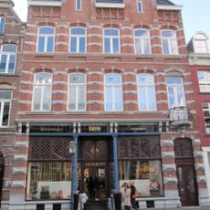
Neerstraat 34, Roermond
98 m
Markt 10, Roermond
107 m
Brugstraat 14, Roermond
41 m
Bergstraat 31, Roermond
43 m
Complex Cillekens: workshop
96 m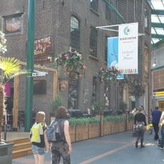
Complex Cillekens: warehouse
96 m
Roersingel 4, Roermond
74 m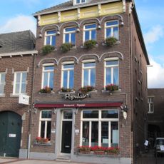
Roerkade 4, Roermond
79 m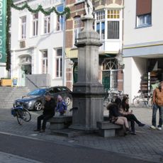
Hard stone pump Neerstraat Roermond
89 m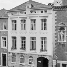
Neerstraat 31B, Roermond
110 m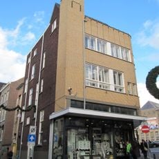
Markt 9, Roermond
92 m
Neerstraat 10, Roermond
38 m
Roersingel 5, Roermond
91 m
Neerstraat 22, Roermond
64 m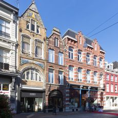
Neerstraat 38, Roermond
108 mVisited this place? Tap the stars to rate it and share your experience / photos with the community! Try now! You can cancel it anytime.
Discover hidden gems everywhere you go!
From secret cafés to breathtaking viewpoints, skip the crowded tourist spots and find places that match your style. Our app makes it easy with voice search, smart filtering, route optimization, and insider tips from travelers worldwide. Download now for the complete mobile experience.

A unique approach to discovering new places❞
— Le Figaro
All the places worth exploring❞
— France Info
A tailor-made excursion in just a few clicks❞
— 20 Minutes