
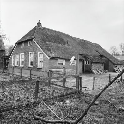
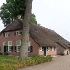
Gemeenteweg 330, Staphorst, Bauernhaus in den Niederlanden
Location: Staphorst
Address: Gemeenteweg 330 7951PE 7951PE
GPS coordinates: 52.65257,6.23125
Latest update: April 3, 2025 19:59
Gemeenteweg 346, Staphorst
487 m
Gemeenteweg 272, Staphorst
466 m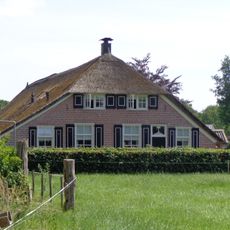
Leijendwarsweg 4, Staphorst
370 m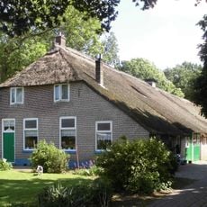
Gemeenteweg 312, Staphorst
241 m
Gemeenteweg 292, Staphorst
410 m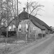
Gemeenteweg 305, Staphorst
502 m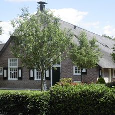
Gemeenteweg 254, Staphorst
599 m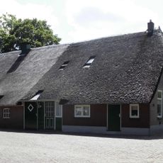
Gemeenteweg 308, Staphorst
283 m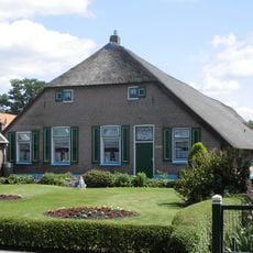
Gemeenteweg 286, Staphorst
441 m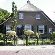
Gemeenteweg 300, Staphorst
327 m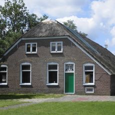
Gemeenteweg 351, Staphorst
232 m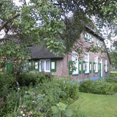
Gemeenteweg 353, Staphorst
179 m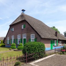
Gemeenteweg 244, Staphorst
662 m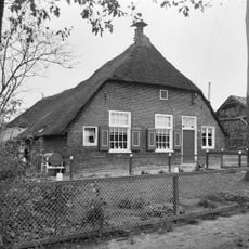
Boerderij van het Staphorstse type
352 m
Gemeenteweg 321, Staphorst
449 m
Gemeenteweg 301, Staphorst
504 m
Gemeenteweg 298, Staphorst
358 m
Gemeenteweg 337, Staphorst
407 m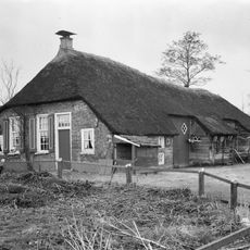
Boerderij van het Staphorstse type
515 m
Boerderij van het Staphorstse type
593 m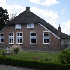
Gemeenteweg 275, Staphorst
599 m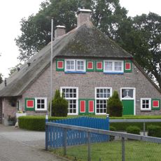
Gave boerderij van het Staphorstse type
571 m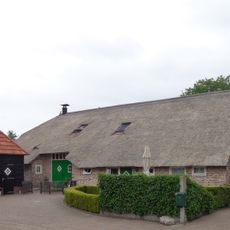
Jan Lubbertsland 2, Staphorst
319 m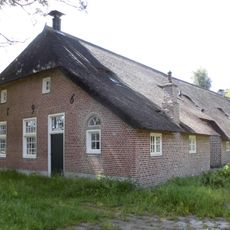
Gemeenteweg 269, Staphorst
656 m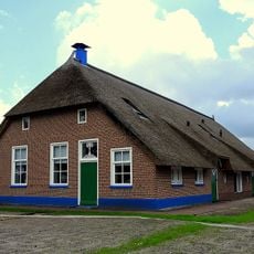
Gave boerderij van het Staphorstse type
386 m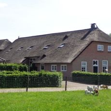
Portiekstraatje 4, Staphorst
377 m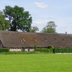
Sprakelhorstweg 1, Staphorst
555 m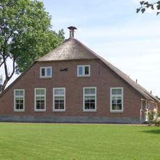
Sprakelhorstweg 2, Staphorst
581 mReviews
Visited this place? Tap the stars to rate it and share your experience / photos with the community! Try now! You can cancel it anytime.
Discover hidden gems everywhere you go!
From secret cafés to breathtaking viewpoints, skip the crowded tourist spots and find places that match your style. Our app makes it easy with voice search, smart filtering, route optimization, and insider tips from travelers worldwide. Download now for the complete mobile experience.

A unique approach to discovering new places❞
— Le Figaro
All the places worth exploring❞
— France Info
A tailor-made excursion in just a few clicks❞
— 20 Minutes