
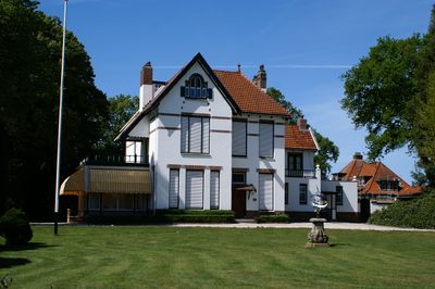
Doniastate, kantoor in Engelse Landhuisstijl, Rijksmonument op De Rijlst 57
Location: Skarsterlân
Part of: Doniastate
GPS coordinates: 52.92849,5.75316
Latest update: March 17, 2025 08:47
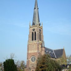
St. Nicholas Church
833 m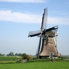
Skarrenmolen
2.7 km
Sweachmermolen
3.8 km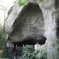
Lourdesgrot, Sint Nicolaasga
799 m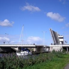
Scharsterrijnbrug
2.8 km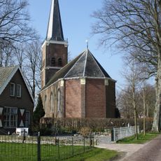
Kerk, Langweer
3.9 km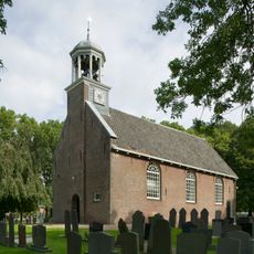
Protestantse kerk, Sint Nicolaasga
942 m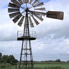
Windmotor Sint Nicolaasga
1.5 km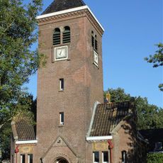
Kerk van Scharsterbrug
2.3 km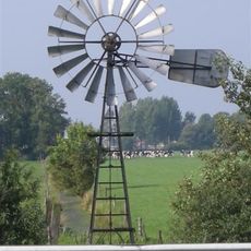
Windmotor Scharsterbrug
3.8 km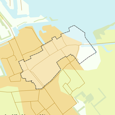
Rijksbeschermd gezicht Langweer
3.9 km
Put van Nederhorst
3.8 km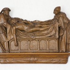
Sint-Nicolaaskerk, grafleggingsreliëf en beelden
819 m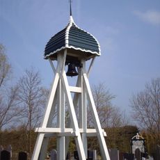
Wooden bell tower in Legemeer
1.9 km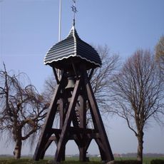
Wooden bell tower, Doniaga
2.8 km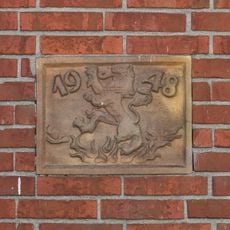
Gedenksteen in de boerderij van Schotanus
2.7 km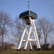
Wooden bell tower, Oldeouwer
3.3 km
Westend 13, Sint Nicolaasga
1.7 km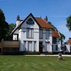
Doniastate, Sint Nicolaasga
52 m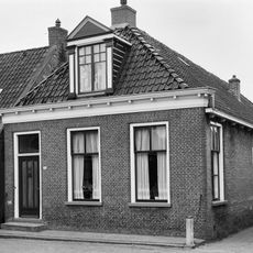
Buorren 28, Langweer
3.9 km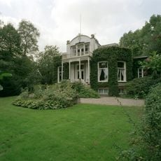
Boschoord
819 m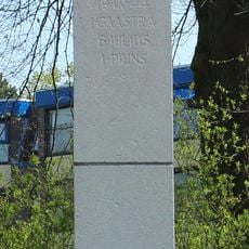
Herdenkingsmonument
786 m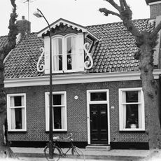
Pand zonder verdieping met voorgevel onder dwars zadeldak tussen zijtopgevels met versierde dakkapel en forse schoorsteen met bord
3.9 km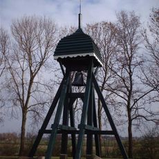
Klokkenstoel Ouwster-Nijega
3.7 km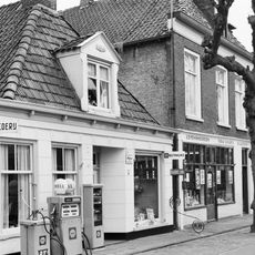
Buorren 26, Langweer
3.9 km
Buorren 30, Langweer
3.9 km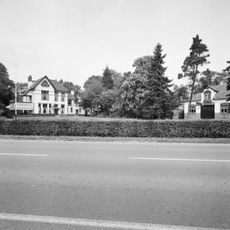
Doniastate, koetshuis
52 m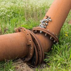
Mud pipelines in Joure
3.7 kmReviews
Visited this place? Tap the stars to rate it and share your experience / photos with the community! Try now! You can cancel it anytime.
Discover hidden gems everywhere you go!
From secret cafés to breathtaking viewpoints, skip the crowded tourist spots and find places that match your style. Our app makes it easy with voice search, smart filtering, route optimization, and insider tips from travelers worldwide. Download now for the complete mobile experience.

A unique approach to discovering new places❞
— Le Figaro
All the places worth exploring❞
— France Info
A tailor-made excursion in just a few clicks❞
— 20 Minutes