
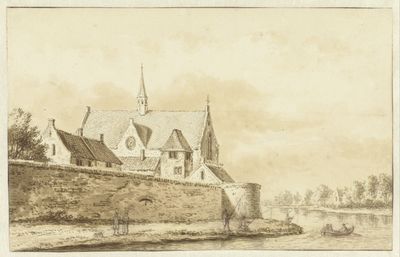
Kapel Duitse Huis, voormalige kapel in Utrecht, Nederland
Location: Utrecht
Inception: 1345
Part of: Duitse Huis
GPS coordinates: 52.08804,5.11803
Latest update: March 5, 2025 08:37
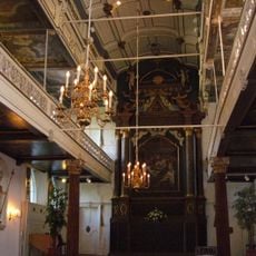
Clandestine church
133 m
St. Gertrude's Cathedral
133 m
Duitse Huis
59 m
Springhaver
79 m
Sint-Dominicuskerk
88 m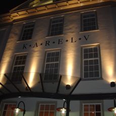
Grand Restaurant Karel V
31 m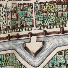
Mariabolwerk
122 m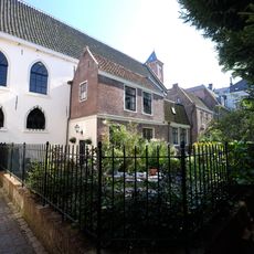
St. Gertrudis Chappell
128 m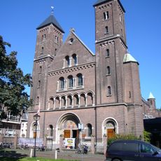
Oud-Katholieke Kerk St. Gertrudis
126 m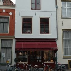
Springweg 6, Utrecht
120 m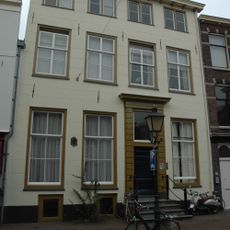
Springweg 8, Utrecht
117 m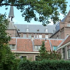
Mariahoek 14, Utrecht
145 m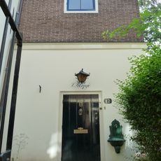
Mariahoek 12, Utrecht
138 m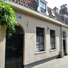
Zilverstraat 34, Utrecht
142 m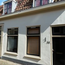
Zilverstraat 38, Utrecht
139 m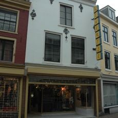
Springweg 15, Utrecht
70 m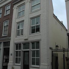
Nathanaëlspoort 2, Utrecht
122 m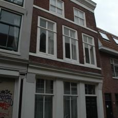
Haverstraat 30, Utrecht
125 m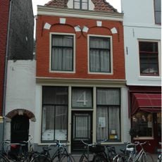
Springweg 4, Utrecht
121 m
Visscherssteeg 11-13, Utrecht
130 m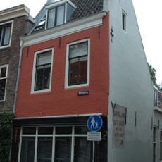
Springweg 84, Utrecht
131 m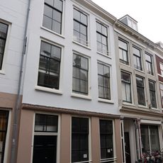
Haverstraat 26, Utrecht
136 m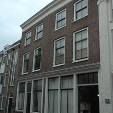
Springweg 53, Utrecht
128 m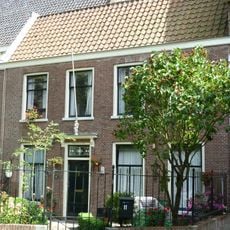
Mariahoek 11, Utrecht
141 m
Zilverstraat 12, Utrecht
139 m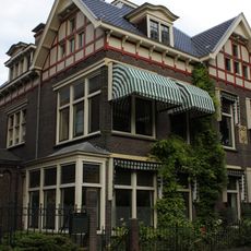
Willemsplantsoen 3, Utrecht
108 m
Mariaplaats 45, Utrecht
135 m
Springweg 19, Utrecht
72 mVisited this place? Tap the stars to rate it and share your experience / photos with the community! Try now! You can cancel it anytime.
Discover hidden gems everywhere you go!
From secret cafés to breathtaking viewpoints, skip the crowded tourist spots and find places that match your style. Our app makes it easy with voice search, smart filtering, route optimization, and insider tips from travelers worldwide. Download now for the complete mobile experience.

A unique approach to discovering new places❞
— Le Figaro
All the places worth exploring❞
— France Info
A tailor-made excursion in just a few clicks❞
— 20 Minutes