
Tennvatn, protected area in Norway
Location: Tjeldsund Municipality
Inception: December 8, 1995
GPS coordinates: 68.52320,16.68320
Latest update: April 19, 2025 11:36
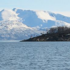
Ofotfjorden
13.3 km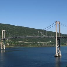
Tjeldsund Bridge
12.4 km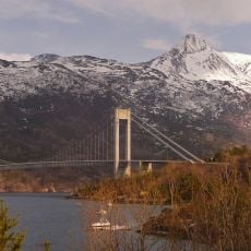
Skjomen Bridge
28.6 km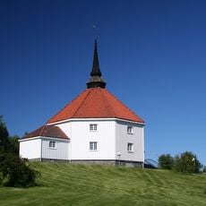
Ankenes Church
30.6 km
Tovik Church
19.1 km
Sandtorgholmen
8.4 km
Efjord Bridges
26.8 km
Herjangsfjord
28.4 km
Harstad Church
31.6 km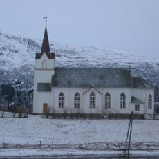
Tjeldsund Church
11.9 km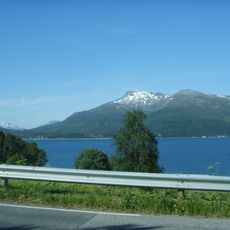
Sætertinden
14.8 km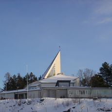
Kanebogen Church
29 km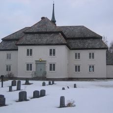
Evenes Church
7.1 km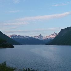
Beisfjorden
31.1 km
Bogen Chapel
13.1 km
Gausvik Church
12.2 km
Ballangen Church
21.2 km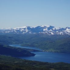
Straumsbotn
28.4 km
Håkvik Chapel
28.8 km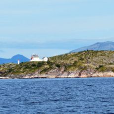
Barøy Lighthouse
31.1 km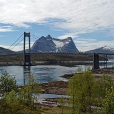
Kjerringstraumen Bridge
26.2 km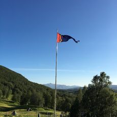
Gállogieddi
3.8 km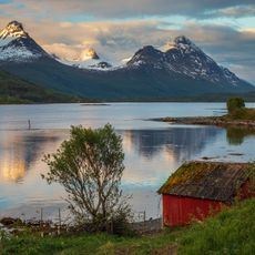
Grovfjorden
24.5 km
Fiskefjorden
22.9 km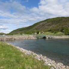
Vargfjorden
14 km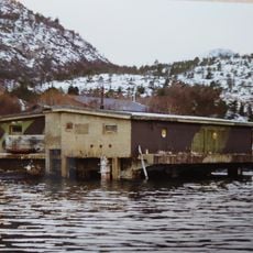
Korshamn Fort
12.9 km
Kjærfjorden Bridge
23.1 km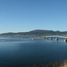
Kveøy bridge
31 kmReviews
Visited this place? Tap the stars to rate it and share your experience / photos with the community! Try now! You can cancel it anytime.
Discover hidden gems everywhere you go!
From secret cafés to breathtaking viewpoints, skip the crowded tourist spots and find places that match your style. Our app makes it easy with voice search, smart filtering, route optimization, and insider tips from travelers worldwide. Download now for the complete mobile experience.

A unique approach to discovering new places❞
— Le Figaro
All the places worth exploring❞
— France Info
A tailor-made excursion in just a few clicks❞
— 20 Minutes