Midtselstjønnhovda, mountain top in Norway
Location: Nore og Uvdal Municipality
Elevation above the sea: 1,270 m
GPS coordinates: 60.33420,7.84920
Latest update: June 12, 2024 18:17

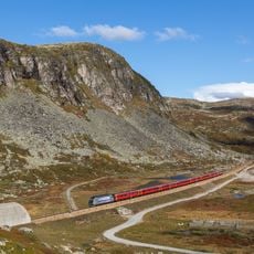
Bergen Line
1.5 km
Ørteren
15.4 km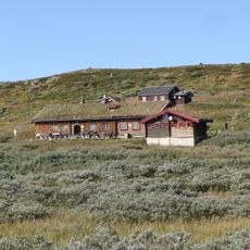
Tuva turisthytte
15.6 km
Rauhellern
8.7 km
Ørterfossen
17.5 km
Skurdeviknuten
11.4 km
Store Grønnut
9.2 km
Trondsbunuten
16.2 km
Vardenuten (tumoy sa bukid sa Noruwega, Buskerud fylke)
14.8 km
Larsbunuten
17 km
Krækja Heia
9.3 km
Skaupsjønuten
8.7 km
Trondsbu
17 km
Monsbuhæe
12.8 km
Falkfangaren
14.4 km
Bjordalsnutan
12.2 km
Bekkjin
14.3 km
Heinebu
17 km
Ved Bjoreidalshytta
17 km
Skulevikstølen
14.7 km
Tinnhølen
16.7 km
Funnstad for B13435 Stridsøks
16.2 km
Skiftessjøen
15.8 km
Stigstuv
11.4 km
Krækkjahæe
9.9 km
Hein 213, 214 - Krækkjehallstølen
8.1 km
Scenic viewpoint
17.1 km
Scenic viewpoint
17.4 kmReviews
Visited this place? Tap the stars to rate it and share your experience / photos with the community! Try now! You can cancel it anytime.
Discover hidden gems everywhere you go!
From secret cafés to breathtaking viewpoints, skip the crowded tourist spots and find places that match your style. Our app makes it easy with voice search, smart filtering, route optimization, and insider tips from travelers worldwide. Download now for the complete mobile experience.

A unique approach to discovering new places❞
— Le Figaro
All the places worth exploring❞
— France Info
A tailor-made excursion in just a few clicks❞
— 20 Minutes