Hamrane
Location: Herøy Municipality
Elevation above the sea: 120 m
GPS coordinates: 62.35637,5.70278
Latest update: October 26, 2025 04:44
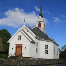
Ulstein Church
7.5 km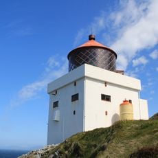
Runde Lighthouse
8.9 km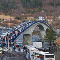
Eiksund Bridge
15.6 km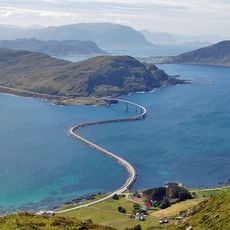
Runde Bridge
4.7 km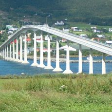
Nerlandsøy Bridge
5.5 km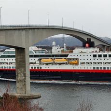
Herøy Bridge
4.2 km
Dragsundbrua
10.6 km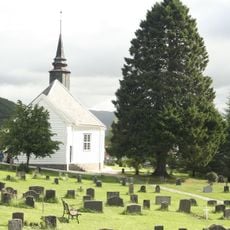
Leikanger Church
12.6 km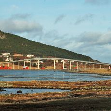
Remøy Bridge
2 km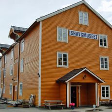
Ishavsmuseet Aarvak
16.7 km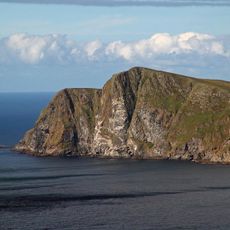
Runde Ramsar Site
5.4 km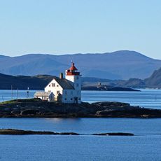
Flåvær lighthouse
7.7 km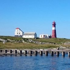
Grasøyane Lighthouse
8.8 km
Herøy prestegård
5.9 km
Fetts fk. nr. 1 Store Grøt (Rødskar)
14.7 km
Seljeset
14.7 km
Work of art
8.2 km
Statue, Work of art
7.5 km
Statue av Johan H Grimstad
16.8 km
Raudenipa
8.3 km
Kaldekloven
7.4 km
Lundeura
7.1 km
Raudetinden
7.8 km
Søre Handfangen
5.9 km
Tinden
7.6 km
Scenic viewpoint
7.7 km
Scenic viewpoint
6.7 km
Scenic viewpoint
16.1 kmReviews
Visited this place? Tap the stars to rate it and share your experience / photos with the community! Try now! You can cancel it anytime.
Discover hidden gems everywhere you go!
From secret cafés to breathtaking viewpoints, skip the crowded tourist spots and find places that match your style. Our app makes it easy with voice search, smart filtering, route optimization, and insider tips from travelers worldwide. Download now for the complete mobile experience.

A unique approach to discovering new places❞
— Le Figaro
All the places worth exploring❞
— France Info
A tailor-made excursion in just a few clicks❞
— 20 Minutes