Stemtjønnfjellet
Location: Åseral
Elevation above the sea: 785 m
GPS coordinates: 58.82526,7.56099
Latest update: October 25, 2025 17:38
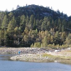
Hovatn
21.7 km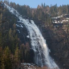
Reiårsfossen
14.7 km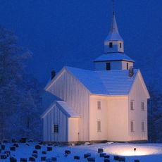
Bygland Church
13.5 km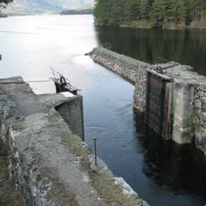
Storstraumen
11.2 km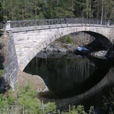
Storstraumen Bridge
11.3 km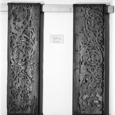
Austad Stave Church
16.3 km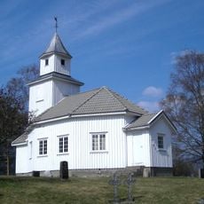
Sandnes Chapel
11.9 km
Landeseiki
20.3 km
Hovassdalen
22.2 km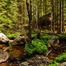
Lindalen naturreservat
18.9 km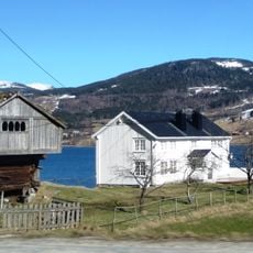
Frøysnes Nedgarden
13.3 km
Prestvorheiè (Prestvorheii, Prestvardheii)
4.5 km
Stora Holmavatnet
21.4 km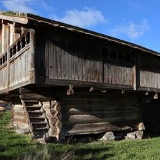
HAUGEN ÅRAKSBØ - HAUGEN NORDRE
14.6 km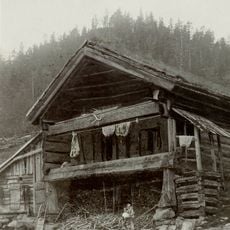
Ose
15.5 km
Skraddarburet
7.9 km
Nordgarden syndre - Åraksbø
14.8 km
Elgtun Landeskogen Elchpark
20.4 km
Reiårsfossen
15 km
Landeeika
20.2 km
Storstoga
15.5 km
Glashytta
13.5 km
Ose Ullvare
15.5 km
Neset
21 km
Fånefjell
16.7 km
Scenic viewpoint
19.8 km
Ørnenapen
14.6 km
Øvstefjødd
16.9 kmReviews
Visited this place? Tap the stars to rate it and share your experience / photos with the community! Try now! You can cancel it anytime.
Discover hidden gems everywhere you go!
From secret cafés to breathtaking viewpoints, skip the crowded tourist spots and find places that match your style. Our app makes it easy with voice search, smart filtering, route optimization, and insider tips from travelers worldwide. Download now for the complete mobile experience.

A unique approach to discovering new places❞
— Le Figaro
All the places worth exploring❞
— France Info
A tailor-made excursion in just a few clicks❞
— 20 Minutes