Storflotjønna, protected area in Norway (Naturbase code: VV00001409)
Location: Os Municipality
Inception: December 7, 2001
GPS coordinates: 62.53680,11.03070
Latest update: October 25, 2025 16:11
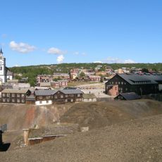
Røros Mining Town and the Circumference
18.7 km
Tolga Church
13.7 km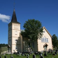
Os Church
9.2 km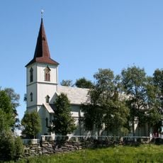
Vingelen Church
15.8 km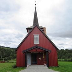
Dalsbygda Church
4.2 km
Sætersgård stadion
14.7 km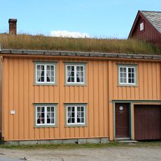
Rasmusgården
18.7 km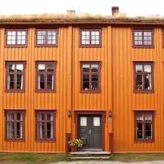
Bekholdtgården
18.7 km
Londalen-Ørvilldalen
12.9 km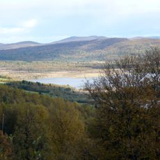
Olafloen
10.2 km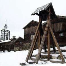
Røros Mining Town Cultural Landscapes and Winter Transport Route
18.7 km
Kloppen
13.2 km
Hartzgården
18.6 km
Kjerkgata 16 Aspåsgården matr.nr. 79
18.7 km
Aasen-gården
18.6 km
Ousta søndre
16 km
Holm
12.6 km
Erlien
13.2 km
Doktortjønna friluftspark
18.2 km
Røros Tweed AS
18.2 km
Bergmannen og hans husfru
18.6 km
Johan Falkberget
18.4 km
Tolga
14.1 km
Work of art
18.6 km
Work of art
18.6 km
Work of art, sculpture
14.1 km
Work of art, sculpture
14.1 km
Scenic viewpoint
17.5 kmReviews
Visited this place? Tap the stars to rate it and share your experience / photos with the community! Try now! You can cancel it anytime.
Discover hidden gems everywhere you go!
From secret cafés to breathtaking viewpoints, skip the crowded tourist spots and find places that match your style. Our app makes it easy with voice search, smart filtering, route optimization, and insider tips from travelers worldwide. Download now for the complete mobile experience.

A unique approach to discovering new places❞
— Le Figaro
All the places worth exploring❞
— France Info
A tailor-made excursion in just a few clicks❞
— 20 Minutes