
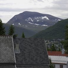
Svartnestind, قمة جبل في بالسفيورد، النرويج
Location: Balsfjord Municipality
GPS coordinates: 69.40306,19.17081
Latest update: March 10, 2025 19:37

Tromsdalstinden
22.7 km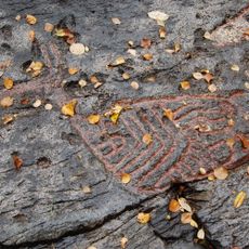
Rock carvings at Tennes
12.3 km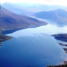
Balsfjorden
12.2 km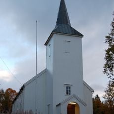
Malangen Church
22.4 km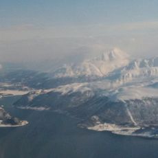
Ramfjorden
16.4 km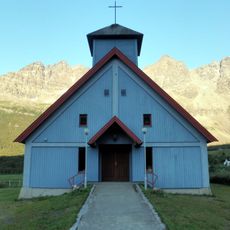
Lakselvbukt Church
18.8 km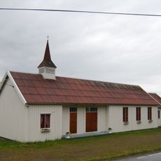
Mestervik Chapel
12.5 km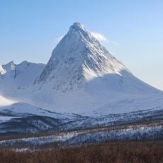
Piggtinden
22.9 km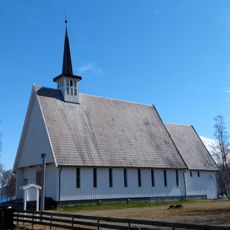
Storsteinnes Chapel
19.3 km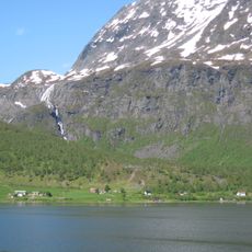
Suortu
15.7 km
Sørfjorden
22.9 km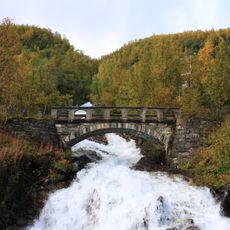
Kalvebakken bru
17.7 km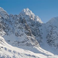
Lakselvtindan
22 km
Blåtinden
5.9 km
Piggtinden
16.1 km
Storura - Urlandet
13.9 km
Forråd - depot
18.3 km
Bjørnskartindan
17.6 km
Ramfjordneset
15.5 km
Storsteinnes
11.6 km
Balsfjord kirkegård - Tennes
12.3 km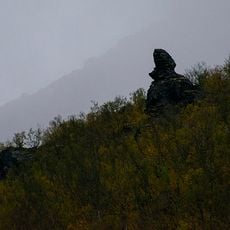
Jietanasdievval
12.9 km
Tradisjonslokalitet
19.4 km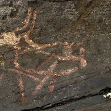
Tennes Bukkhammeren
12.6 km
Lavangsdalen, Mellomdalen
8.7 km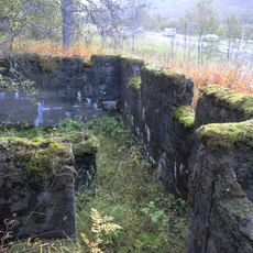
Lavangsdalen
11 km
Jietanasdievval
13 km
Sarasteinen
8.6 kmReviews
Visited this place? Tap the stars to rate it and share your experience / photos with the community! Try now! You can cancel it anytime.
Discover hidden gems everywhere you go!
From secret cafés to breathtaking viewpoints, skip the crowded tourist spots and find places that match your style. Our app makes it easy with voice search, smart filtering, route optimization, and insider tips from travelers worldwide. Download now for the complete mobile experience.

A unique approach to discovering new places❞
— Le Figaro
All the places worth exploring❞
— France Info
A tailor-made excursion in just a few clicks❞
— 20 Minutes