
Ålfotbreen, protected area in Norway
Location: Bremanger Municipality
Location: Kinn Municipality
Location: Gloppen Municipality
Inception: January 9, 2009
GPS coordinates: 61.72000,5.67000
Latest update: July 7, 2025 16:04
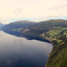
Nordfjord
19.7 km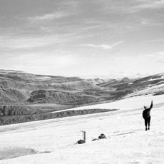
Ålfotbreen
3 km
Anda
25.8 km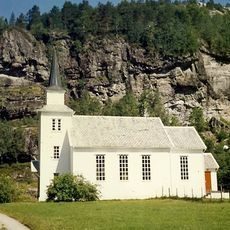
Nordal Church
17.7 km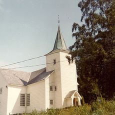
Eikefjord Church
18.7 km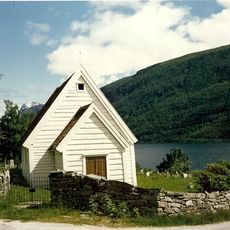
Ålfoten Church
13.3 km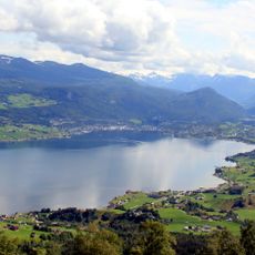
Gloppefjorden
25 km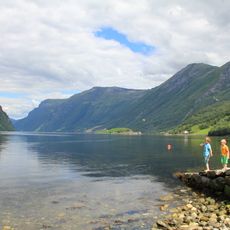
Hyefjorden
13.7 km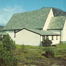
Svelgen Chapel
21 km
Gimmestad Church
26.3 km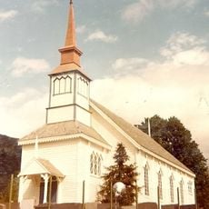
Stårheim Church
22.7 km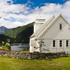
Rugsund Church
25.4 km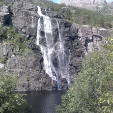
Brudesløret
22 km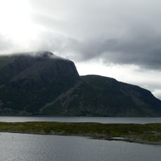
Midtgulen
25.7 km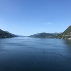
Eidsfjorden
22.5 km
Norddalsfjorden
21 km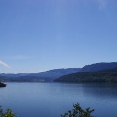
Eikefjorden
19.9 km
Osstrupen bru
24.7 km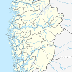
Blånipa
15 km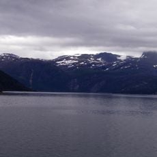
Isefjorden
17.8 km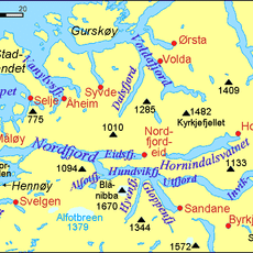
Hundvikfjorden
20.6 km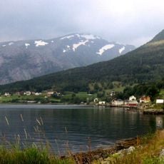
Ålfoten
13.7 km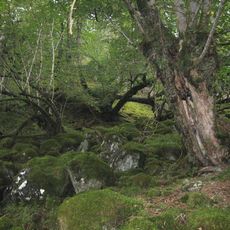
Sandvikbotn
23.7 km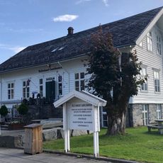
Kulturhuset Gamlebanken
26.8 km
Eidsgata og Tverrgata
26.8 km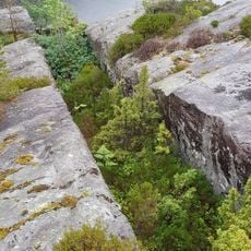
Stakaneset diabasgang
26.2 km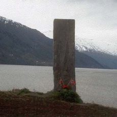
Fetts fk.nr.2
23.7 km
LØKEN GAMLE SORENSKRIVERGÅRD
23.8 kmReviews
Visited this place? Tap the stars to rate it and share your experience / photos with the community! Try now! You can cancel it anytime.
Discover hidden gems everywhere you go!
From secret cafés to breathtaking viewpoints, skip the crowded tourist spots and find places that match your style. Our app makes it easy with voice search, smart filtering, route optimization, and insider tips from travelers worldwide. Download now for the complete mobile experience.

A unique approach to discovering new places❞
— Le Figaro
All the places worth exploring❞
— France Info
A tailor-made excursion in just a few clicks❞
— 20 Minutes