
Nordre Sauholmen, protected area in Norway
Location: Vestby Municipality
GPS coordinates: 59.51750,10.67700
Latest update: March 17, 2025 07:11
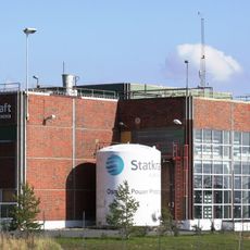
Statkraft osmotic power prototype in Hurum
7.1 km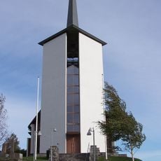
Såner Church
4.5 km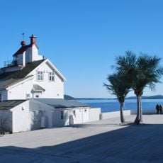
Filtvet Lighthouse
6.8 km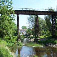
Hølen Viaduct
4.3 km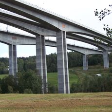
Hølendalen Bridges
3.7 km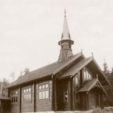
Filtvet Church
7.4 km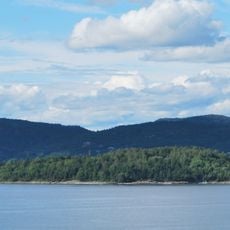
Tofteholmen
6.7 km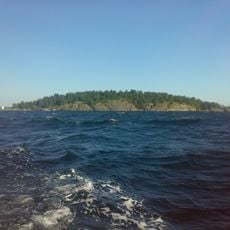
Ranvikholmen Nature Reserve
8.1 km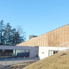
Son church
474 m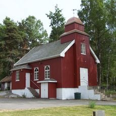
Strømbråten Chapel
1.5 km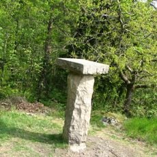
Orkerødbatteriet
8.1 km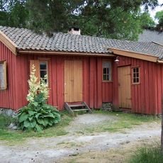
Son kystkultursenter
935 m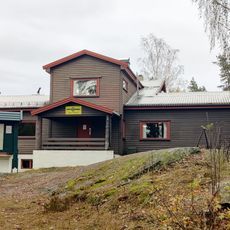
Mossemarka
6.7 km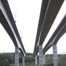
Hølensbrua
3.7 km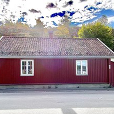
Verket 10
8.4 km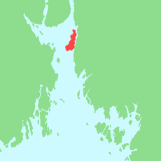
Rambergbukta
6.1 km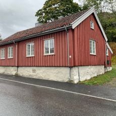
Verket 14
8.5 km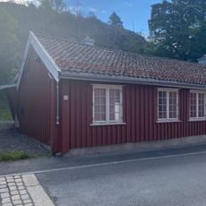
Verket 12
8.4 km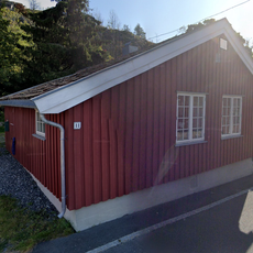
Verket 11
8.4 km
Refsnes
7.7 km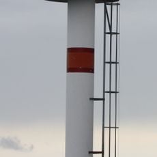
Filtvet Lighthouse
6.8 km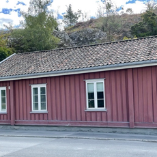
Verket 9
8.4 km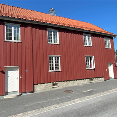
Verket 7a
8.4 km
Verket 8
8.4 km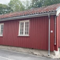
Verket 15
8.5 km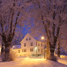
Orkerød
8.3 km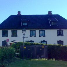
Spinnerigården
882 m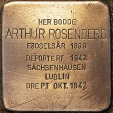
Stolperstein dedicated to Arthur Rosenberg
790 mReviews
Visited this place? Tap the stars to rate it and share your experience / photos with the community! Try now! You can cancel it anytime.
Discover hidden gems everywhere you go!
From secret cafés to breathtaking viewpoints, skip the crowded tourist spots and find places that match your style. Our app makes it easy with voice search, smart filtering, route optimization, and insider tips from travelers worldwide. Download now for the complete mobile experience.

A unique approach to discovering new places❞
— Le Figaro
All the places worth exploring❞
— France Info
A tailor-made excursion in just a few clicks❞
— 20 Minutes