
Mikkelsberget, protected area in Norway
Location: Grue Municipality
GPS coordinates: 60.46000,11.83000
Latest update: October 10, 2025 04:02
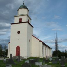
Grue Church
12.3 km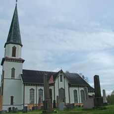
Sand Church
17.5 km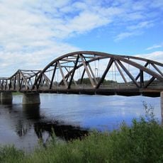
Flisa bru
18.5 km
Våler Church
23.7 km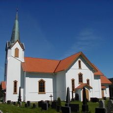
Brandval Church
19 km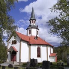
Mo Church
11.2 km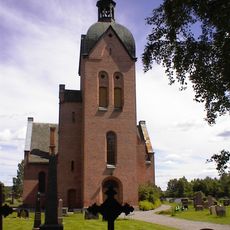
Strøm Church
24.4 km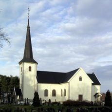
Våler Church
23.7 km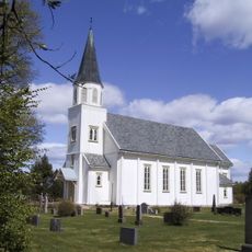
Arneberg Church
17.3 km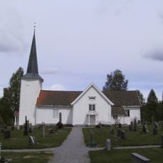
Oppstad Church
21.1 km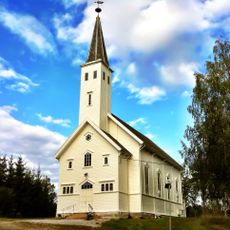
Ingeborgrud Church
30.5 km
Ullern Church
29.5 km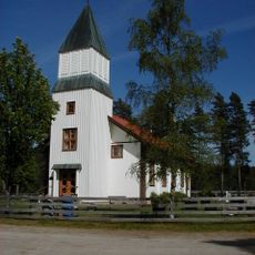
Lundersæter Church
30.3 km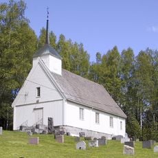
Trautskogen Chapel
25 km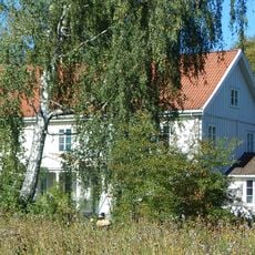
Hof prestegård
17.5 km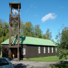
Roverud Church
26.2 km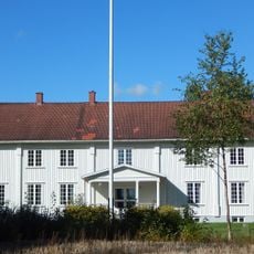
Grue prestegård
11.4 km
Hof stavkirke
14.4 km
Sagstua Skolemuseum / Sigurd Hoels hjem
17.9 km
Gjesåssjøen
26.1 km
NYGÅRD, Gruetunet Museum
13.4 km
KONGSHOV (Kongshaug)
12.4 km
Opset
10.2 km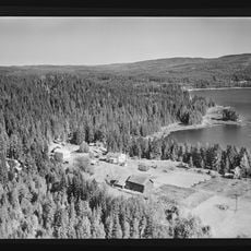
Bergersæter
28.7 km
Kirkelund
23.6 km
Grinder
13.8 km
Sollien
25.8 km
Hytjanstorpet
27.3 kmReviews
Visited this place? Tap the stars to rate it and share your experience / photos with the community! Try now! You can cancel it anytime.
Discover hidden gems everywhere you go!
From secret cafés to breathtaking viewpoints, skip the crowded tourist spots and find places that match your style. Our app makes it easy with voice search, smart filtering, route optimization, and insider tips from travelers worldwide. Download now for the complete mobile experience.

A unique approach to discovering new places❞
— Le Figaro
All the places worth exploring❞
— France Info
A tailor-made excursion in just a few clicks❞
— 20 Minutes