Askerudbekken, protected area in Norway
Location: Modum Municipality
GPS coordinates: 60.00800,10.13000
Latest update: November 4, 2025 06:30

Finnemarka
5.4 km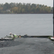
Utøykaia
7.6 km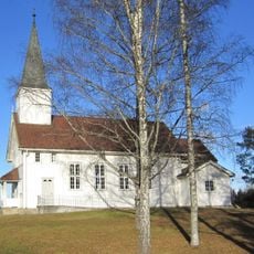
Rud kapell
6.6 km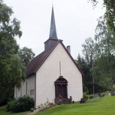
Gulsrud Church
798 m
Zone de protection de la faune de Tyrifjorden
7.9 km
Store Svartøya
7.2 km
Lienskjæret
7.4 km
Furuøyene
7.4 km
Storøya
7.4 km
Søndre Tyrifjorden
5.4 km
Purkøya
7 km
Øverbyveien
7.3 km
Svarverudelva
8 km
Ullhaugtoppen
4.6 km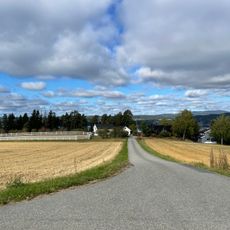
Løkkebakken
7.9 km
Storøen (museum)
7.8 km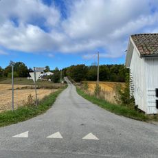
Dakotaveien
7.8 km
Rudshaugen, Hole
7.3 km
Utviken
7.4 km
Utviken
7.5 km
Storøya
7.9 km
Hamarbispens ladegård (Biscopsøe), Storøen
7.9 km
Snekkerstua
7.8 km
Tyrifjord hotell
8 km
Christopher Hornsrud 1859-1960
8 km
Stående pikje
8 km
Scenic viewpoint
7.5 km
Fallet
7.7 kmReviews
Visited this place? Tap the stars to rate it and share your experience / photos with the community! Try now! You can cancel it anytime.
Discover hidden gems everywhere you go!
From secret cafés to breathtaking viewpoints, skip the crowded tourist spots and find places that match your style. Our app makes it easy with voice search, smart filtering, route optimization, and insider tips from travelers worldwide. Download now for the complete mobile experience.

A unique approach to discovering new places❞
— Le Figaro
All the places worth exploring❞
— France Info
A tailor-made excursion in just a few clicks❞
— 20 Minutes