Buberget, protected area in Norway
Location: Våler Municipality
Inception: June 21, 2017
GPS coordinates: 61.00500,12.21000
Latest update: November 6, 2025 15:26
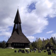
Gravberget Church
14.2 km
Regnåsen og Hisåsen
10.8 km
Skjeftkjølen
5.7 km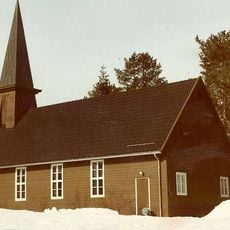
Tørberget Church
15.4 km
Hemberget
10.6 km
Päggonätto naturreservat
10.3 km
Höljberget
5.8 km
Gælenevjufossen
11.1 km
Veslestyggfossen
8.8 km
Hestberget
4.2 km
Storstyggfossen
9.2 km
Jørnfossen
3.2 km
Stenmyra
17.5 km
Solbu
17.9 km
Krokfossen
4.4 km
Rønningsfossen
15.5 km
Kjerkestrupen
8 km
Svinfotfossen
16.6 km
Oppistua
17.8 km
Oppistua, Nye
17.8 km
Oppistua (Gamle)
17.9 km
Picnic table, scenic viewpoint
17.9 km
Rønningsfossen
15.5 km
Storstyggen
9.2 km
Veslestyggen
8.8 km
Gælenevjufossen
11.2 km
Kjerkestrupen
8 km
Rønningsfossen
15.4 kmReviews
Visited this place? Tap the stars to rate it and share your experience / photos with the community! Try now! You can cancel it anytime.
Discover hidden gems everywhere you go!
From secret cafés to breathtaking viewpoints, skip the crowded tourist spots and find places that match your style. Our app makes it easy with voice search, smart filtering, route optimization, and insider tips from travelers worldwide. Download now for the complete mobile experience.

A unique approach to discovering new places❞
— Le Figaro
All the places worth exploring❞
— France Info
A tailor-made excursion in just a few clicks❞
— 20 Minutes