Sætersjøberget, protected area in Norway
Location: Våler Municipality
GPS coordinates: 60.66000,11.65000
Latest update: November 4, 2025 08:40
Våler Church
10.2 km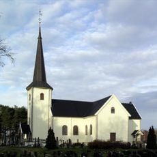
Våler Church
10.2 km
Rokoberget kirkeruin
16.1 km
Oppegård Chapel
12.2 km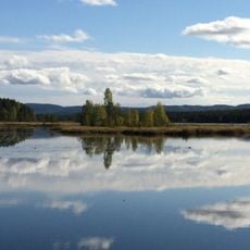
Vesle Rokosjøen
16 km
Årkjølen
8.7 km
Langfossen
11.1 km
Eidsfjellet
8.7 km
Veslefossen
13.9 km
Bronkeberget
11.4 km
Eidsfossen
10.4 km
Tater-Millas hus
13.6 km
Braskereidfossen
9.2 km
Middagsberget naturreservat
13.5 km
Romedals almenning
14 km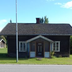
Kirkelund
10.2 km
Starrberget el Festningsberget
13.6 km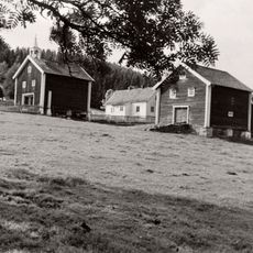
Sjurderud
12.9 km
Steinbrudd
15.3 km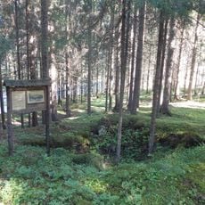
Husmannsplass
16.1 km
Dunderbakken sag
12.2 km
Kvennstuguteatret
15.5 km
Sagen
15.1 km
Langfossen
11 km
Eidsfossen
10.4 km
Veslefossen
13.9 km
Sagfossen
15.8 km
Bronkefossen
11.2 kmReviews
Visited this place? Tap the stars to rate it and share your experience / photos with the community! Try now! You can cancel it anytime.
Discover hidden gems everywhere you go!
From secret cafés to breathtaking viewpoints, skip the crowded tourist spots and find places that match your style. Our app makes it easy with voice search, smart filtering, route optimization, and insider tips from travelers worldwide. Download now for the complete mobile experience.

A unique approach to discovering new places❞
— Le Figaro
All the places worth exploring❞
— France Info
A tailor-made excursion in just a few clicks❞
— 20 Minutes