
Skjettenberglia, protected area in Norway
Location: Indre Fosen Municipality
GPS coordinates: 63.68100,10.30900
Latest update: May 19, 2025 02:41
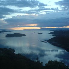
Trondheimsfjord
21.6 km
Tautra Abbey
18.9 km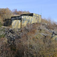
Hysnes Fort
24.9 km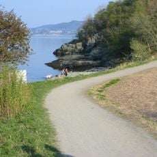
Ladestien
25.9 km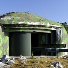
Brettingen Fort
24.4 km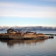
Nidarholm Abbey
25.8 km
Rein Abbey
22.9 km
Åsenfjorden
25.1 km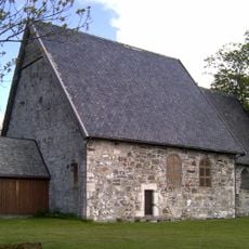
Logtun Church
23.2 km
Fosenhallen
26.1 km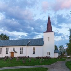
Stadsbygd Church
25.2 km
Stjørnfjorden
21.7 km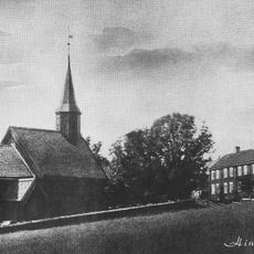
Hindrum Church
11.4 km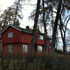
Adrianstua
26.5 km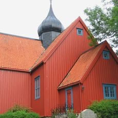
Rein Church
23 km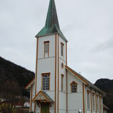
Stranda Church
14.9 km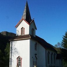
Fines Church
19 km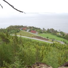
Amborneset
13.3 km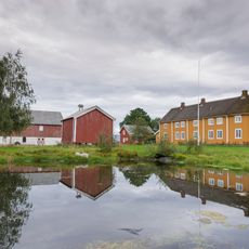
Stadsbygd prestegård
25.3 km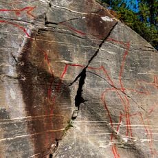
Stykket rock carvings
23.7 km
Bjørnåa
12.2 km
Nordfjorden
16.4 km
Refsnes
17.1 km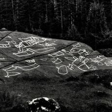
Evenhus
23.1 km
St. Olavs hospital psykisk helsevern avd. Østmarka
26.4 km
Refsnes
17 km
Hårberg
23.4 km
Logstein
23.7 kmReviews
Visited this place? Tap the stars to rate it and share your experience / photos with the community! Try now! You can cancel it anytime.
Discover hidden gems everywhere you go!
From secret cafés to breathtaking viewpoints, skip the crowded tourist spots and find places that match your style. Our app makes it easy with voice search, smart filtering, route optimization, and insider tips from travelers worldwide. Download now for the complete mobile experience.

A unique approach to discovering new places❞
— Le Figaro
All the places worth exploring❞
— France Info
A tailor-made excursion in just a few clicks❞
— 20 Minutes