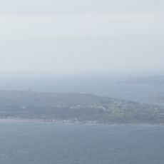
Lurekalven, protected area in Norway
Location: Alver Municipality
Inception: April 3, 1987
GPS coordinates: 60.71200,5.05700
Latest update: August 8, 2025 13:31
Toska
9.4 km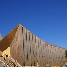
Knarvik Church
22.1 km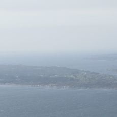
Hjeltefjorden
9.2 km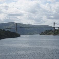
Hagelsund Bridge
22.1 km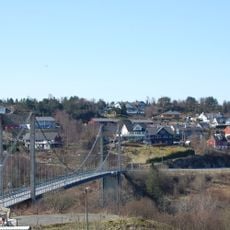
Alversund Bridge
18.3 km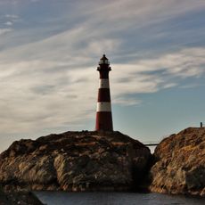
Hellisøy Lighthouse
19.4 km
Fensfjorden
10.3 km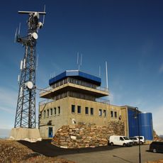
Fedje Vessel Traffic Service Centre
20.9 km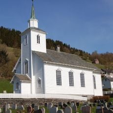
Seim Church
16 km
Emigrant Church
3.1 km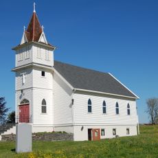
Western Norway Emigration Center
3.1 km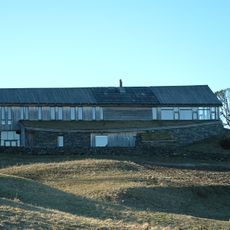
Lyngheisenteret
3.4 km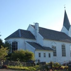
Hordabø Church
7.2 km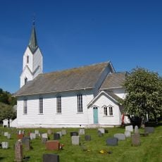
Sæbø Church
12.3 km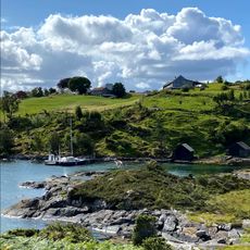
Lurefjord
3.2 km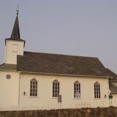
Lygra Church
4.3 km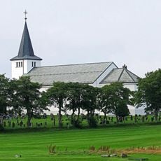
Herdla Church
17 km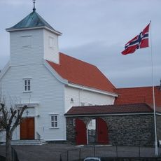
Blomvåg Church
22.5 km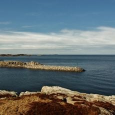
Fedjefjorden
17.9 km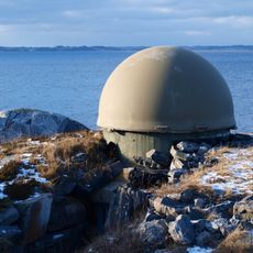
Herdla torpedo battery
16.3 km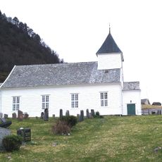
Sandnes Church
16.6 km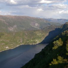
Austfjorden
15.6 km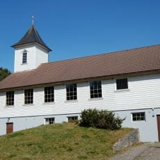
Hjelmås kapell
21.6 km
Sylta
7.4 km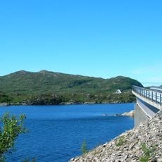
Nappsundbrua
22.5 km
Syltastova
7.6 km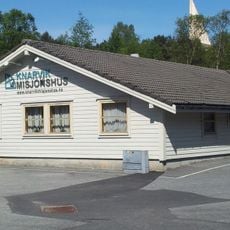
Knarvik misjonshus
21.5 km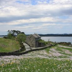
Lyngheisenteret
3.4 kmReviews
Visited this place? Tap the stars to rate it and share your experience / photos with the community! Try now! You can cancel it anytime.
Discover hidden gems everywhere you go!
From secret cafés to breathtaking viewpoints, skip the crowded tourist spots and find places that match your style. Our app makes it easy with voice search, smart filtering, route optimization, and insider tips from travelers worldwide. Download now for the complete mobile experience.

A unique approach to discovering new places❞
— Le Figaro
All the places worth exploring❞
— France Info
A tailor-made excursion in just a few clicks❞
— 20 Minutes