
Solum bru, bru over E18
Location: Holmestrand Municipality
Length: 91.8 m
Longest Span: 24 m
Made from material: prestressed concrete
GPS coordinates: 59.46867,10.31454
Latest update: September 23, 2025 16:56

Skjeggestad Bridge
905 m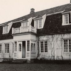
Falkensten
7.2 km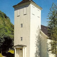
Holmestrand Church
2.4 km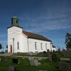
Botne Church
2.5 km
Våle Church
5.9 km
Casino
1 km
Nykirke Church
6.4 km
Olav og Emma Duuns hus
4.1 km
Gjøklep ungdomsskole
1.8 km
Våle prestegård
5.4 km
Gåserumpa
5.3 km
Bogen
7.4 km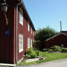
Fattighuset i Holmestrand
2.4 km
Bjørkøya
5.7 km
Løvøya
7.6 km
Holmestrand politistasjon
2.3 km
Frebergsvik
5.9 km
Hellandbrua
2.9 km
Killingholmen
5.9 km
Kattholmane
8 km
Våle prestegårdsskog
5.8 km
Langøya
4.9 km
Ryggsåsen
5.1 km
Falkenstendammen
7.4 km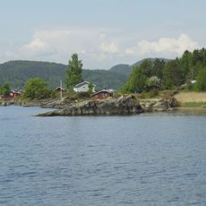
Kulpa
6.1 km
Tangenbekken
3.2 km
Mulåsen
2.4 km
Sjuve
6.9 kmReviews
Visited this place? Tap the stars to rate it and share your experience / photos with the community! Try now! You can cancel it anytime.
Discover hidden gems everywhere you go!
From secret cafés to breathtaking viewpoints, skip the crowded tourist spots and find places that match your style. Our app makes it easy with voice search, smart filtering, route optimization, and insider tips from travelers worldwide. Download now for the complete mobile experience.

A unique approach to discovering new places❞
— Le Figaro
All the places worth exploring❞
— France Info
A tailor-made excursion in just a few clicks❞
— 20 Minutes