Strand, protected area in Norway
Location: Averøy Municipality
GPS coordinates: 62.99350,7.70360
Latest update: November 4, 2025 11:35
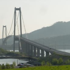
Gjemnessund Bridge
4.6 km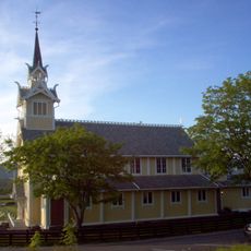
Frei Church
6.1 km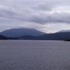
Kvernesfjorden
6.1 km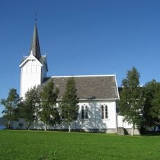
Kvernes Church
1.6 km
Gjemnes Church
5 km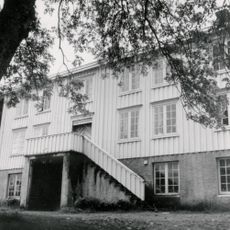
Frei prestegård
6.2 km
Borghammaren
5.3 km
Høgsethamrane
4.8 km
Stokknoken
4.9 km
Trøhammaren
5.2 km
Ramnberga
4.3 km
Skarvhammaren
5.3 km
Rogset Rokset
2.5 km
Høgsetleira
3.8 km
Nør Kilstihammaren
4.3 km
Einneset
3.7 km
Gamle Kvernes bygdemuseum
1.6 km
Gård ikke funnet i GAB
5.5 km
Høgset
3.4 km
Kvernes prestegård
1.7 km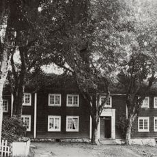
GJEMNES
5.7 km
Freihaugen
6.1 km
Tradisjonslokalitet
1.7 km
Fornminner
3.2 km
Hosetlia
4.4 km
Scenic viewpoint
5.2 km
Lågfjellet
6.1 km
Scenic viewpoint
3 kmReviews
Visited this place? Tap the stars to rate it and share your experience / photos with the community! Try now! You can cancel it anytime.
Discover hidden gems everywhere you go!
From secret cafés to breathtaking viewpoints, skip the crowded tourist spots and find places that match your style. Our app makes it easy with voice search, smart filtering, route optimization, and insider tips from travelers worldwide. Download now for the complete mobile experience.

A unique approach to discovering new places❞
— Le Figaro
All the places worth exploring❞
— France Info
A tailor-made excursion in just a few clicks❞
— 20 Minutes