Stave, protected area in Norway
Location: Farsund Municipality
GPS coordinates: 58.12600,6.58800
Latest update: November 4, 2025 08:44
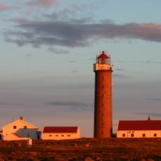
Lista Lighthouse
2.2 km
Nordberg Fort
1.9 km
Minnesmerke
1.4 km
Steinodden
2 km
Pigsteinen
1.3 km
Slævdal
2.1 km
Nilsens Minde
444 m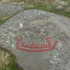
Penne
1.4 km
Vere midtre med Veråker og Vere ytre
507 m
Vennheim
1.8 km
Penne
1.8 km
Litle Nordberghammeren
1.9 km
Penne
1.8 km
Venneim
1.8 km
Vatne vestre
1.9 km
Kjølleberg
1.6 km
Slævdal
2.2 km
Nedre Råstad
1.7 km
WN Stavestø
686 m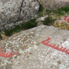
Pennefeltet (Jærberget)
1.7 km
Vågsvold
2.2 km
NORDBERG LEIR
1.9 km
LISTA FLYSTASJON
2.1 km
Verjesteinen
1.2 km
Slævdal (med Melkesteinen)
1.9 km
Kunstpunkt Lista
2.2 km
Work of art, sculpture
2 km
Scenic viewpoint
1.8 kmReviews
Visited this place? Tap the stars to rate it and share your experience / photos with the community! Try now! You can cancel it anytime.
Discover hidden gems everywhere you go!
From secret cafés to breathtaking viewpoints, skip the crowded tourist spots and find places that match your style. Our app makes it easy with voice search, smart filtering, route optimization, and insider tips from travelers worldwide. Download now for the complete mobile experience.

A unique approach to discovering new places❞
— Le Figaro
All the places worth exploring❞
— France Info
A tailor-made excursion in just a few clicks❞
— 20 Minutes