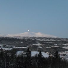
Råndalen, protected area in Norway
Location: Selbu Municipality
GPS coordinates: 63.12600,11.23700
Latest update: November 2, 2025 17:38
Skarvan and Roltdalen National Park
13.5 km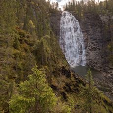
Henfallet
21.7 km
Schulzhytta
16.5 km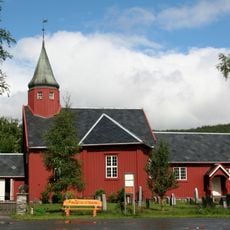
Tydal Church
18.4 km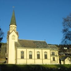
Haltdalen Church
22.7 km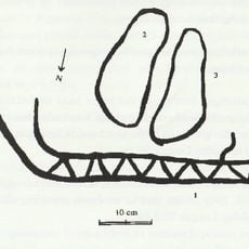
Grøtte rock carvings
21.4 km
Selbu bygdemuseum
14 km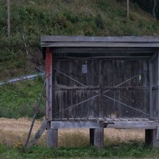
Røset melkerampe
12.1 km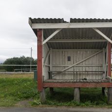
Velve melkerampe
11.7 km
Grøtte rock carvings (II)
21.4 km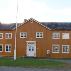
Selbu gramle prestegård, museum
14 km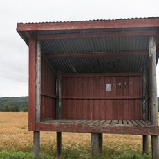
Hoem melkerampe
12.9 km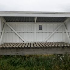
Hårstadengene melkerampe
13.9 km
Solem 3 (Solem IX)
22.7 km
Grøtte V
21.2 km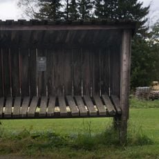
Bårdsgard melkerampe
8.5 km
Balstad I
20 km
Svinås I
19.5 km
Stamnes I
19.3 km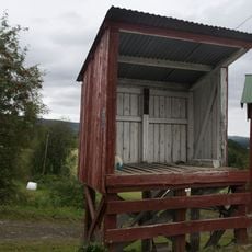
Eidemsgjerdet melkerampe
16 km
Grøtte I
19.6 km
Engan I
19.9 km
Grøtte IV
21.4 km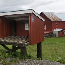
Kolstad melkerampe
11.2 km
Gressli I
11.5 km
Solem XIX-XXIII
22.3 km
Solem 2 (Solem III-VIII, X-XIV)
21.7 km
Galleri
15.5 kmReviews
Visited this place? Tap the stars to rate it and share your experience / photos with the community! Try now! You can cancel it anytime.
Discover hidden gems everywhere you go!
From secret cafés to breathtaking viewpoints, skip the crowded tourist spots and find places that match your style. Our app makes it easy with voice search, smart filtering, route optimization, and insider tips from travelers worldwide. Download now for the complete mobile experience.

A unique approach to discovering new places❞
— Le Figaro
All the places worth exploring❞
— France Info
A tailor-made excursion in just a few clicks❞
— 20 Minutes