Hov vestre
Location: Namsos Municipality
GPS coordinates: 64.65907,11.23417
Latest update: November 1, 2025 19:35
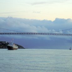
Nærøysund Bridge
21.3 km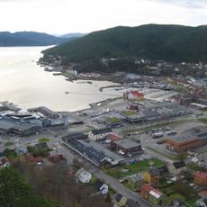
Namsenfjorden
14.3 km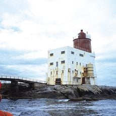
Gjeslingene Lighthouse
19.6 km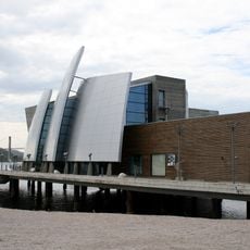
Norveg
22.3 km
Smines Bridge
18.8 km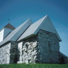
Old Nærøy Church
19 km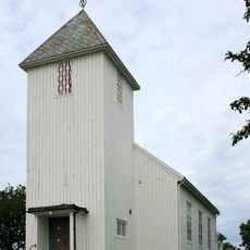
Rørvik Church
22.7 km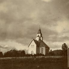
Otterøy Church
16.8 km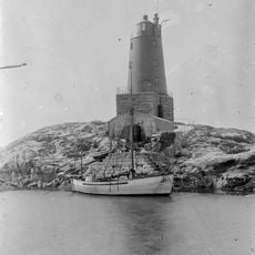
Grinna Lighthouse
16.2 km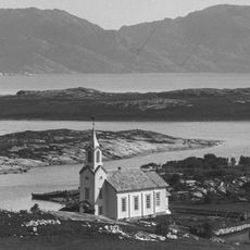
Løvøy Church
23.4 km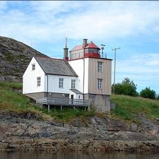
Nærøysund Lighthouse
20.5 km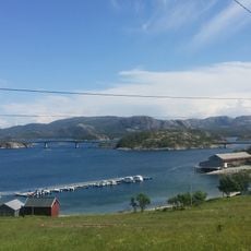
Hestøy Bridge
19.2 km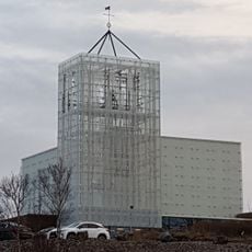
Rørvik Church
22.6 km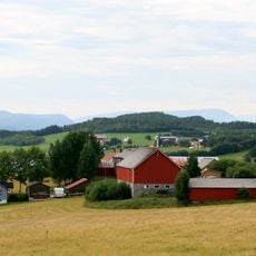
Seierstadfjorden
6.7 km
Kystmuseet Norveg
22.4 km
Nærøy prestegård
19 km
Reppen
11 km
Sjø-Sara
22.5 km
Minnesmerke etter 22. juli ofrene
24.5 km
Installasjon D.D.E. 30 År
24.5 km
Bjørumsklumpen
24.4 km
Krona
22.2 km
Scenic viewpoint
1 km
Scenic viewpoint
1.1 km
Scenic viewpoint
1.1 km
Scenic viewpoint
999 m
Scenic viewpoint
1.9 km
Scenic viewpoint
2.6 kmReviews
Visited this place? Tap the stars to rate it and share your experience / photos with the community! Try now! You can cancel it anytime.
Discover hidden gems everywhere you go!
From secret cafés to breathtaking viewpoints, skip the crowded tourist spots and find places that match your style. Our app makes it easy with voice search, smart filtering, route optimization, and insider tips from travelers worldwide. Download now for the complete mobile experience.

A unique approach to discovering new places❞
— Le Figaro
All the places worth exploring❞
— France Info
A tailor-made excursion in just a few clicks❞
— 20 Minutes